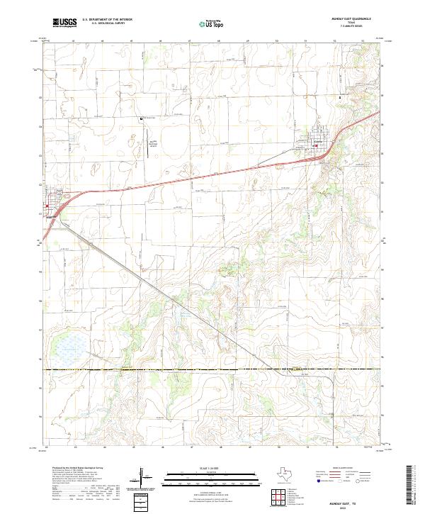
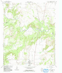
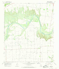
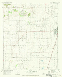
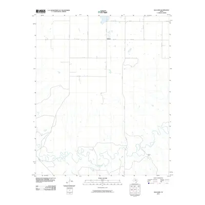
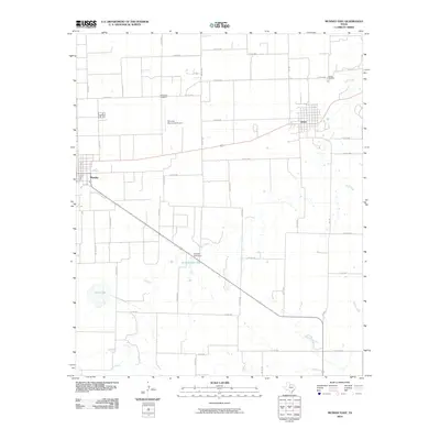
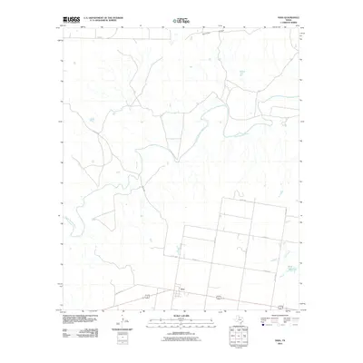
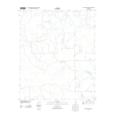
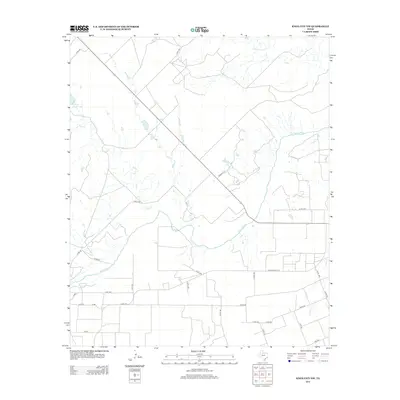
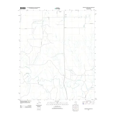
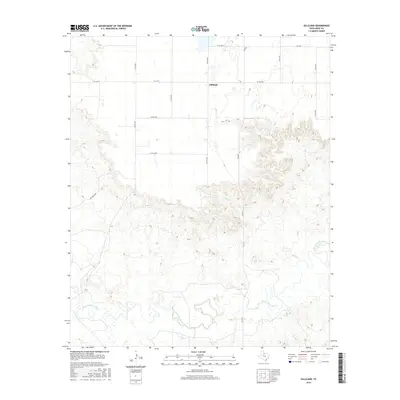
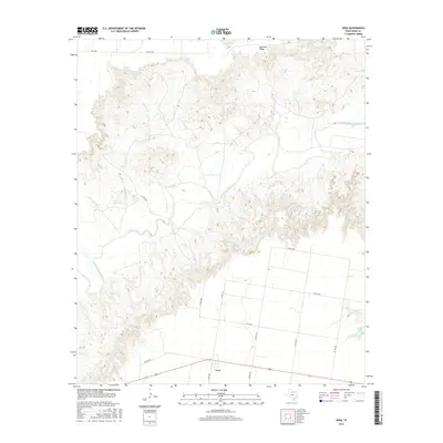
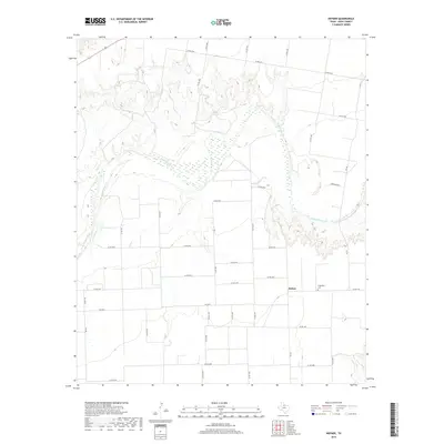
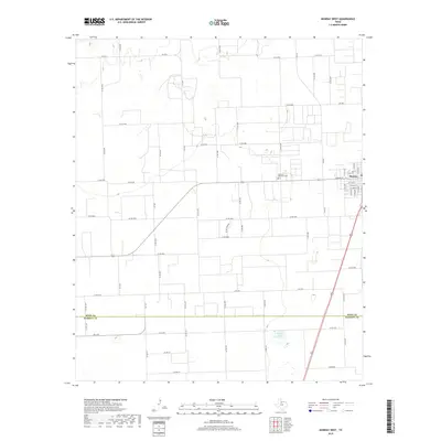
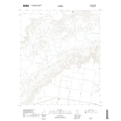
2022 Map of Munday East
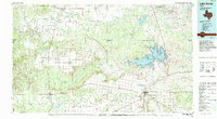
USGS Topo · Published 2022About this map
The agricultural plains of the Rolling Plains region are centered here on the Knox Co Haskell Co line, where the rural settlements of Munday and Goree anchor the local community. The landscape is defined by an intricate network of county roads that divide the territory into a grid, supporting the region's ranching and farming operations. Water features like Lake Cr and Wild Horse Cr traverse the terrain, alongside smaller bodies such as Scott Lake and Munday Park Lake. Genealogists and local historians will find the location of the Old Goree Cem and Goree Cem particularly significant for tracing family roots in this part of North Texas. The presence of the Munday Municipal Airport near the northern edge of Munday reflects the continued importance of aviation in connecting these small, dispersed communities.
Find a feature on this map
58 named features on this map. Tap any name to fly to it.
Don’t see what you’re looking for? This feature index may not catch every label — zoom into the map to look around manually.
Map Details
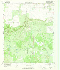
Editions of this 2022 Munday East Map
This is the sole edition of this map. No revisions or reprints were ever made.
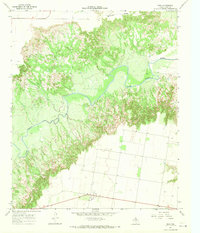
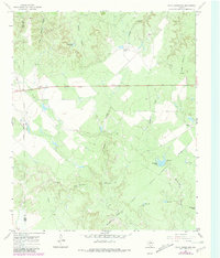
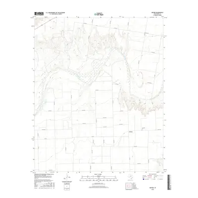
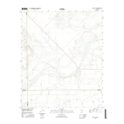
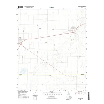
Historical Maps of Munday Through Time
73 maps found
1966 Big Four Ranch
Knox County, TX
1966 Gilliland
Knox County, TX
1966 Maverick Flat
Knox County, TX
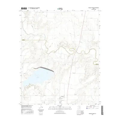
1966 Truscott North
Knox County, TX
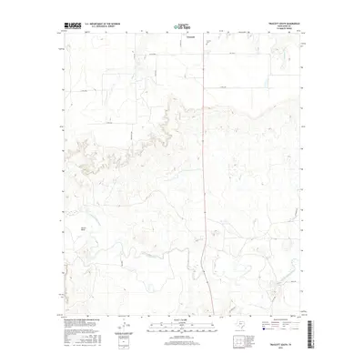
1966 Truscott South
Knox County, TX
1966 Vera
Knox County, TX
1967 Cedar Mountain
Knox County, TX
1967 Hefner
Knox County, TX
1967 Knox City NW
Knox County, TX
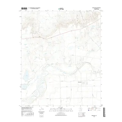
1967 Rhineland
Knox County, TX
1968 Munday East
Knox County, TX
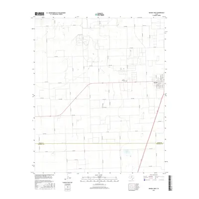
1968 Munday West
Knox County, TX
1985 Lake Kemp
Knox County, TX
2010 Big Four Ranch
Knox County, TX
2010 Cedar Mountain
Knox County, TX
2010 Gilliland
Knox County, TX
2010 Hefner
Knox County, TX
2010 Knox City NW
Knox County, TX
2010 Maverick Flat
Knox County, TX
2010 Munday East
Knox County, TX
2010 Munday West
Knox County, TX
2010 Rhineland
Knox County, TX
2010 Truscott South
Knox County, TX
2010 Vera
Knox County, TX
2011 Truscott North
Knox County, TX
2012 Maverick Flat
Knox County, TX
2012 Munday East
Knox County, TX
2013 Big Four Ranch
Knox County, TX
2013 Cedar Mountain
Knox County, TX
2013 Gilliland
Knox County, TX
2013 Hefner
Knox County, TX
2013 Knox City NW
Knox County, TX
2013 Munday West
Knox County, TX
2013 Rhineland
Knox County, TX
2013 Truscott North
Knox County, TX
2013 Truscott South
Knox County, TX
2013 Vera
Knox County, TX
2016 Big Four Ranch
Knox County, TX
2016 Cedar Mountain
Knox County, TX
2016 Gilliland
Knox County, TX
2016 Hefner
Knox County, TX
2016 Knox City NW
Knox County, TX

2016 Maverick Flat
Knox County, TX
2016 Munday East
Knox County, TX
2016 Munday West
Knox County, TX
2016 Rhineland
Knox County, TX
2016 Truscott North
Knox County, TX
2016 Truscott South
Knox County, TX
2016 Vera
Knox County, TX
2019 Big Four Ranch
Knox County, TX
2019 Cedar Mountain
Knox County, TX
2019 Gilliland
Knox County, TX
2019 Hefner
Knox County, TX
2019 Knox City NW
Knox County, TX
2019 Maverick Flat
Knox County, TX
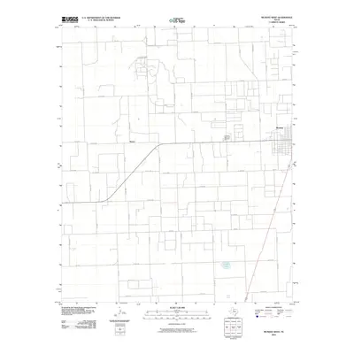
2019 Munday East
Knox County, TX
2019 Munday West
Knox County, TX
2019 Rhineland
Knox County, TX
2019 Truscott North
Knox County, TX
2019 Truscott South
Knox County, TX
2019 Vera
Knox County, TX
2022 Big Four Ranch
Knox County, TX
2022 Cedar Mountain
Knox County, TX
2022 Gilliland
Knox County, TX
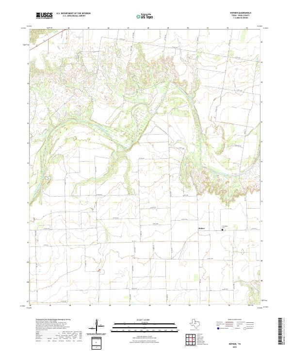
2022 Hefner
Knox County, TX
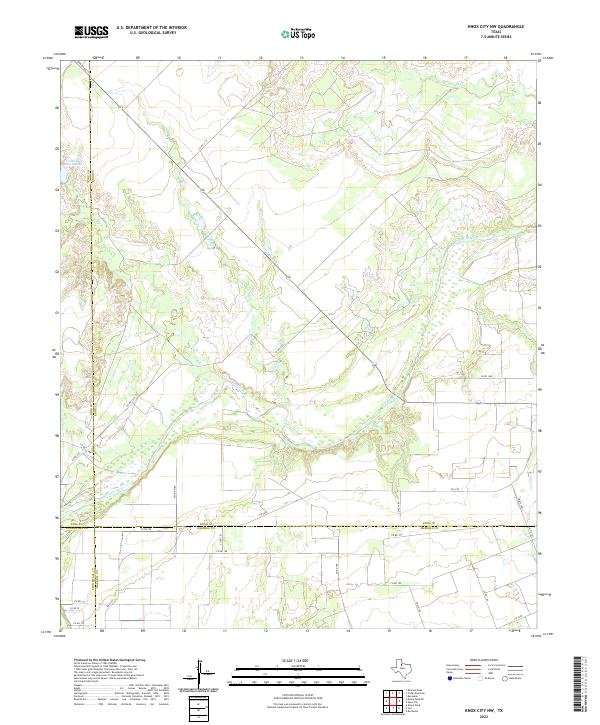
2022 Knox City NW
Knox County, TX
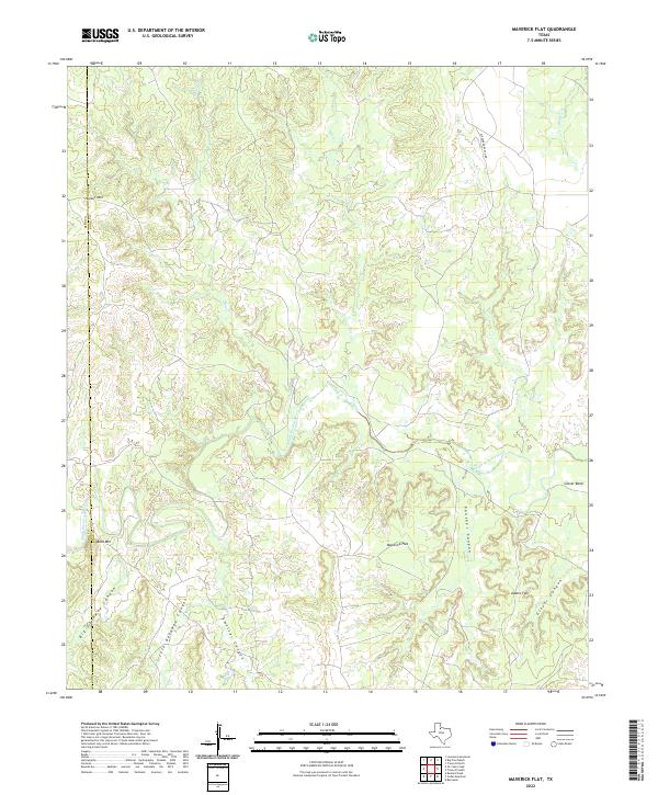
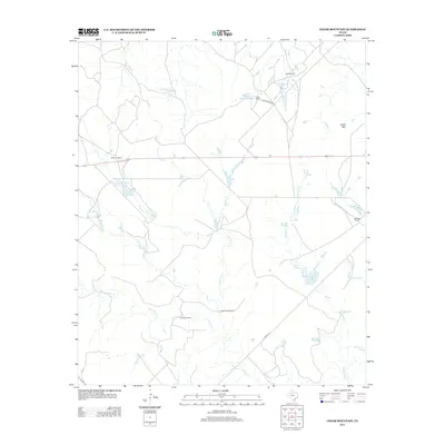
2022 Maverick Flat
Knox County, TX
2022 Munday East
Knox County, TX

2022 Munday West
Knox County, TX
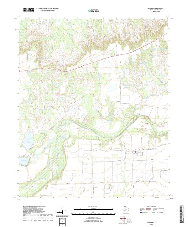
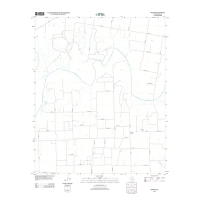
2022 Rhineland
Knox County, TX
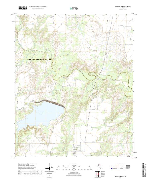
2022 Truscott North
Knox County, TX
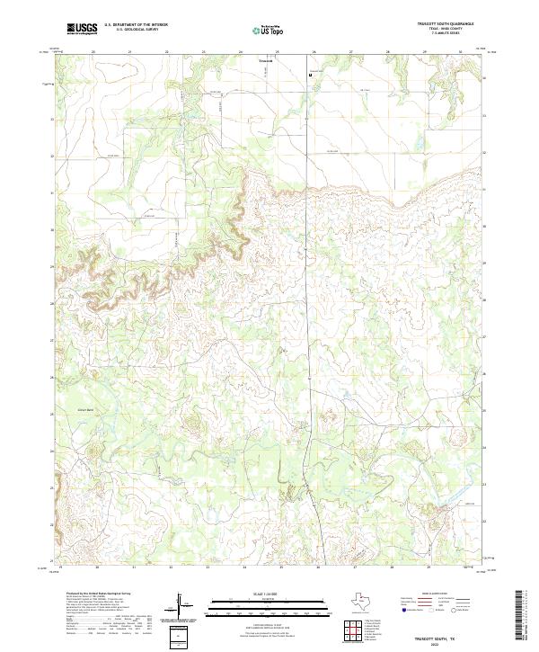
2022 Truscott South
Knox County, TX
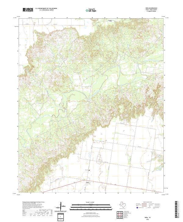
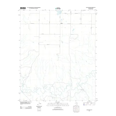
2022 Vera
Knox County, TX