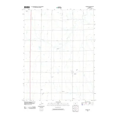
2009 Map of Munden
USGS Topo · Published 2009About this map
Munden is the central hub of this agricultural landscape in Republic County, where the geometric grid of county roads meets the meandering paths of Rose Creek and Salt Creek. The town is structured around Main St, serving as a primary point of settlement amidst a vast network of section-line roads like Co Rd D and Co Rd 23. This 2009 survey highlights the enduring rural character of North Central Kansas, where family names are etched into the local geography through private thoroughfares such as Horak Dr, Dusek Dr, and Houdek Dr. In the central portion of the map, the Rose Creek Cemetery serves as a significant genealogical landmark, while the southern boundary is defined by the headwaters of the North Fork Mill Creek. The map documents a landscape of traditional farmsteads and modern rural residency just south of the Nebraska border.
Find a feature on this map
25 named features on this map. Tap any name to fly to it.
Don’t see what you’re looking for? This feature index may not catch every label — zoom into the map to look around manually.
Map Details
Editions of this 2009 Munden Map
This is the sole edition of this map. No revisions or reprints were ever made.
Other maps of this area
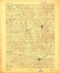
1892 · Concordia
USGS Topo · 1:125,000
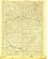
1893 · Washington
USGS Topo · 1:125,000
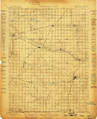
1898 · Hebron
USGS Topo · 1:125,000

1955 · Manhattan
USGS Topo · 1:250,000
1955 · Lincoln
USGS Topo · 1:250,000
1956 · Manhattan
USGS Topo · 1:250,000
1957 · Manhattan
USGS Topo · 1:250,000
1957 · Lincoln
USGS Topo · 1:250,000
1958 · Lincoln
USGS Topo · 1:250,000
1960 · Chester
USGS Topo · 1:24,000