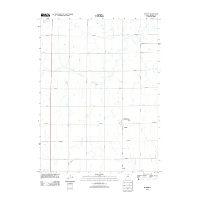
2012 Map of Munden
USGS Topo · Published 2012About this map
Munden serves as the central point of this Northern Kansas agricultural landscape, situated at the intersection of Co Road G and S Main St. The settlement is anchored by a local Po and is surrounded by a grid of county roads that facilitate movement across the prairie. The hydrology of the area is defined by the winding paths of Rose Cr, which meanders through the northern sections, and N Fork Mill Cr to the south. Near the center of the quadrangle, the Rose Creek Cem provides a genealogical point of interest for researchers of Republic County families. The landscape is primarily shaped by these small watercourses and a systematic road network, including the western border along Cord 19, illustrating the persistent rural structure of the region in the early 21st century.
Find a feature on this map
29 named features on this map. Tap any name to fly to it.
Don’t see what you’re looking for? This feature index may not catch every label — zoom into the map to look around manually.
Map Details
Editions of this 2012 Munden Map
This is the sole edition of this map. No revisions or reprints were ever made.
Other maps of this area

1892 · Concordia
USGS Topo · 1:125,000

1893 · Washington
USGS Topo · 1:125,000

1898 · Hebron
USGS Topo · 1:125,000

1955 · Manhattan
USGS Topo · 1:250,000

1955 · Lincoln
USGS Topo · 1:250,000

1956 · Manhattan
USGS Topo · 1:250,000

1957 · Manhattan
USGS Topo · 1:250,000

1957 · Lincoln
USGS Topo · 1:250,000

1958 · Lincoln
USGS Topo · 1:250,000

1960 · Chester
USGS Topo · 1:24,000