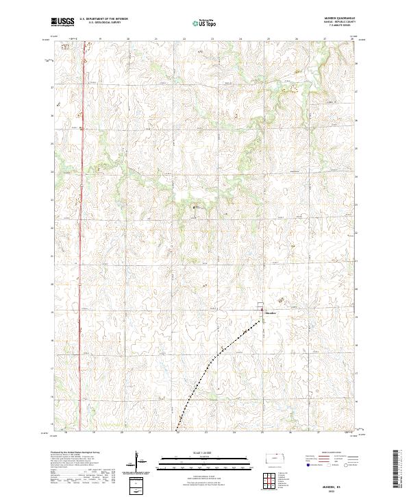
2022 Map of Munden
USGS Topo · Published 2022About this map
Munden sits at the heart of this Republic County landscape, serving as a focal point for the surrounding agricultural sections. The area is defined by its section-line road network, where local routes like Birch Rd and Diamond Rd trace the historic divisions of the land. Waterways such as Rose Creek in the north and the North Fork Mill Creek in the south provide the primary drainage for the undulating terrain. For those tracing family histories, the map identifies local burial sites including Rose Creek Cemetery and Ida Cemetery, both preserved near the intersections of quiet county roads. The presence of Hubbell Trail in the northeastern corner suggests early transit patterns that predated the modern highway system, while the central town of Munden maintains its traditional grid layout around Main Street.
Find a feature on this map
29 named features on this map. Tap any name to fly to it.
Don’t see what you’re looking for? This feature index may not catch every label — zoom into the map to look around manually.
Map Details
Editions of this 2022 Munden Map
This is the sole edition of this map. No revisions or reprints were ever made.
Other maps of this area

1892 · Concordia
USGS Topo · 1:125,000

1893 · Washington
USGS Topo · 1:125,000

1898 · Hebron
USGS Topo · 1:125,000

1955 · Manhattan
USGS Topo · 1:250,000

1955 · Lincoln
USGS Topo · 1:250,000

1956 · Manhattan
USGS Topo · 1:250,000

1957 · Manhattan
USGS Topo · 1:250,000

1957 · Lincoln
USGS Topo · 1:250,000

1958 · Lincoln
USGS Topo · 1:250,000

1960 · Chester
USGS Topo · 1:24,000