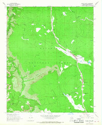
1965 Map of Munds Park
USGS Topo · Published 1968About this map
Indian Gardens sits at the base of the steep descent from the Colorado Plateau, marking a transition between the high forest and the deep drainage of Oak Creek. During the mid-1960s, this area of the Coconino National Forest supported a variety of recreational and ranching activities. The high country is dotted with numerous water catchments including Deadwood Tank and Frog Tank, essential for the livestock and wildlife on the plateau.
Find a feature on this map
50 named features on this map. Tap any name to fly to it.
Don’t see what you’re looking for? This feature index may not catch every label — zoom into the map to look around manually.
Map Details
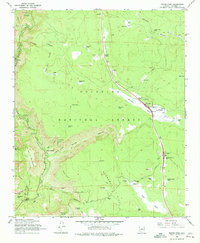
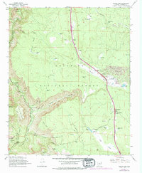
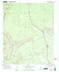
Editions of this 1965 Munds Park Map
4 editions found
Other maps of this area

1886 · San Francisco Mtns
USGS Topo · 1:250,000

1887 · Verde
USGS Topo · 1:250,000

1891 · San Francisco Mtns
USGS Topo · 1:250,000

1892 · Verde
USGS Topo · 1:250,000

1894 · San Francisco Mtns
USGS Topo · 1:250,000

1899 · San Francisco Mtns
USGS Topo · 1:250,000

1908 · Flagstaff
USGS Topo · 1:125,000

1912 · Flagstaff
USGS Topo · 1:125,000

1923 · Camp Verde
USGS Topo · 1:125,000

1932 · Camp Verde
USGS Topo · 1:125,000