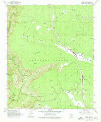
1965 Map of Munds Park
USGS Topo · Published 1974About this map
Coconino National Forest terrain dominates this mid-1960s survey, illustrating a landscape defined by dramatic geological features and early recreational development. The high plateau country of Munds Park is bisected by an Industrial Railroad and the primary north-south highway, featuring the Munds Park Interchange and Little Antelope Interchange. To the west, the land drops sharply into the depths of Oak Creek Canyon, where the West Fork Oak Creek carves through the sandstone beneath Wilson Mountain.
Find a feature on this map
50 named features on this map. Tap any name to fly to it.
Don’t see what you’re looking for? This feature index may not catch every label — zoom into the map to look around manually.
Map Details
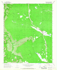
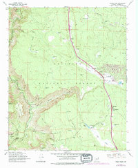
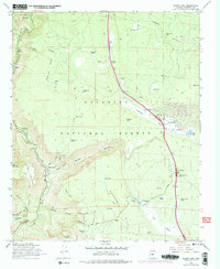
Editions of this 1965 Munds Park Map
4 editions found
Other maps of this area

1886 · San Francisco Mtns
USGS Topo · 1:250,000

1887 · Verde
USGS Topo · 1:250,000

1891 · San Francisco Mtns
USGS Topo · 1:250,000

1892 · Verde
USGS Topo · 1:250,000

1894 · San Francisco Mtns
USGS Topo · 1:250,000

1899 · San Francisco Mtns
USGS Topo · 1:250,000

1908 · Flagstaff
USGS Topo · 1:125,000

1912 · Flagstaff
USGS Topo · 1:125,000

1923 · Camp Verde
USGS Topo · 1:125,000

1932 · Camp Verde
USGS Topo · 1:125,000