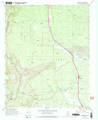
1965 Map of Munds Park
USGS Topo · Published 1977About this map
Munds Park and the surrounding high country of the Coconino National Forest define this 1965 survey, updated with 1974 photo-revisions. The landscape is a complex network of canyons and high parks, where the recreational development of the Oakwood Country Club and residential Foxboro Ranch sit alongside traditional forest infrastructure. An Industrial Railroad traverses the northern section, highlighting the era's timber or resource transport routes. The map records several campgrounds including Oak Creek Campground and Cave Spring Campground, reflecting the area's growth as a destination for outdoor enthusiasts. Dramatic terrain transitions are visible from Wilson Mountain down through Munds Canyon, while family and local history is preserved in the names of water sources like Willard Spring and remote locations such as Indian Gardens.
Find a feature on this map
58 named features on this map. Tap any name to fly to it.
Don’t see what you’re looking for? This feature index may not catch every label — zoom into the map to look around manually.
Map Details
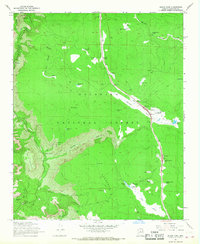
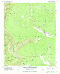
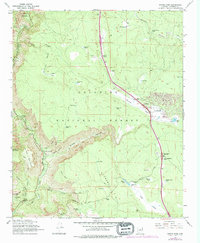
Editions of this 1965 Munds Park Map
4 editions found
Other maps of this area

1886 · San Francisco Mtns
USGS Topo · 1:250,000

1887 · Verde
USGS Topo · 1:250,000

1891 · San Francisco Mtns
USGS Topo · 1:250,000

1892 · Verde
USGS Topo · 1:250,000

1894 · San Francisco Mtns
USGS Topo · 1:250,000

1899 · San Francisco Mtns
USGS Topo · 1:250,000

1908 · Flagstaff
USGS Topo · 1:125,000

1912 · Flagstaff
USGS Topo · 1:125,000

1923 · Camp Verde
USGS Topo · 1:125,000

1932 · Camp Verde
USGS Topo · 1:125,000