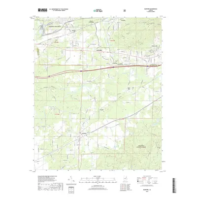
2018 Map of Munford
USGS Topo · Published 2018About this map
The Anniston Army Depot anchors the northwest corner of this landscape, a region defined by the transition from industrial and military activity to the wooded slopes of the Talladega National Forest. The boundary between Calhoun and Talladega counties bisects the terrain, where established settlements like Oxford and Hobson City give way to smaller communities such as Munford and Jenifer. A notable cultural landmark is the Coldwater Covered Bridge, situated near the significant hydrology of Coldwater Spring.
Find a feature on this map
103 named features on this map. Tap any name to fly to it.
Don’t see what you’re looking for? This feature index may not catch every label — zoom into the map to look around manually.
Map Details
Editions of this 2018 Munford Map
This is the sole edition of this map. No revisions or reprints were ever made.
Other maps of this area

1889 · Springville
USGS Topo · 1:125,000

1890 · Talladega
USGS Topo · 1:125,000

1891 · Ashland
USGS Topo · 1:125,000

1892 · Springville
USGS Topo · 1:125,000

1892 · Talladega
USGS Topo · 1:125,000

1900 · Anniston
USGS Topo · 1:125,000

1943 · Talladega
USGS Topo · 1:62,500

1946 · Talladega
USGS Topo · 1:62,500

1947 · Oxford
USGS Topo · 1:24,000

1947 · Anniston
USGS Topo · 1:24,000