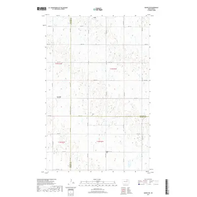
2017 Map of Munich SW
USGS Topo · Published 2017About this map
Calio and Newville anchor this northern prairie landscape, situated near the intersection of several county boundaries. The terrain is characterized by the complex wetland and pothole topography typical of this region, with a strict section-line road network that includes Towner-Cavalier Co Line Rd and 81st St NE. This 2017 survey reveals the enduring agrarian structure of the area, where small settlements like Saint Joe serve as local landmarks amidst the shifting seasonal water bodies. Genealogists and local historians will find the location of the Salem Cem particularly significant, as it marks a quiet commemorative point near the center of the quadrangle. The map captures the precise jurisdictional divisions where Towner, Cavalier, and Ramsey counties meet, providing a clear view of the rural settlement patterns that have persisted in this corner of North Dakota.
Find a feature on this map
27 named features on this map. Tap any name to fly to it.
Don’t see what you’re looking for? This feature index may not catch every label — zoom into the map to look around manually.
Map Details
Editions of this 2017 Munich SW Map
This is the sole edition of this map. No revisions or reprints were ever made.
Other maps of this area

1953 · Devils Lake
USGS Topo · 1:250,000

1956 · Devils Lake
USGS Topo · 1:250,000

1957 · Cando NE
USGS Topo · 1:24,000

1962 · Egeland SE
USGS Topo · 1:24,000

1962 · Starkweather
USGS Topo · 1:24,000

1962 · Egeland
USGS Topo · 1:24,000

1962 · Starkweather NE
USGS Topo · 1:24,000

1970 · Munich
USGS Topo · 1:24,000

1971 · Calio
USGS Topo · 1:24,000

1971 · Munich SW
USGS Topo · 1:24,000