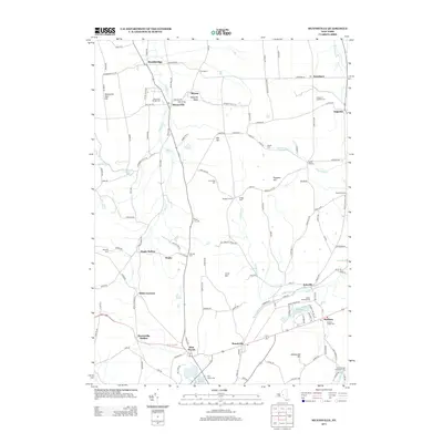
2013 Map of Munnsville
USGS Topo · Published 2013About this map
Stockbridge and Munnsville anchor this rural landscape in central New York, where the geography is defined by the winding paths of Oneida Cr and Oriskany Cr. The area is characterized by scattered agricultural hamlets and numerous historic burial grounds, such as the Knoxboro Augusta Cem and the Old Meeting House Hill Cem, which offer significant touchpoints for genealogical research. The terrain is marked by distinct elevations like Oak Hill and Prospect Hill, while the southern reaches feature prominent water bodies including Madison Lake and Leland Pond. The infrastructure consists of a dense network of country roads connecting older settlements like Solsville, Augusta, and Pratts Hollow. This survey reflects a deeply established rural community where the names of early family lands and local crossings have persisted into the 21st century.
Find a feature on this map
134 named features on this map. Tap any name to fly to it.
Don’t see what you’re looking for? This feature index may not catch every label — zoom into the map to look around manually.
Map Details
Editions of this 2013 Munnsville Map
This is the sole edition of this map. No revisions or reprints were ever made.
Other maps of this area

1895 · Oriskany
USGS Topo · 1:62,500

1895 · Oneida
USGS Topo · 1:62,500

1898 · Oneida
USGS Topo · 1:62,500

1898 · Oriskany
USGS Topo · 1:62,500

1902 · Morrisville
USGS Topo · 1:62,500

1902 · Oneida
USGS Topo · 1:62,500

1907 · Sangerfield
USGS Topo · 1:62,500

1939 · Oneida
USGS Topo · 1:62,500

1943 · West Eaton
USGS Topo · 1:24,000

1943 · Morrisville
USGS Topo · 1:24,000