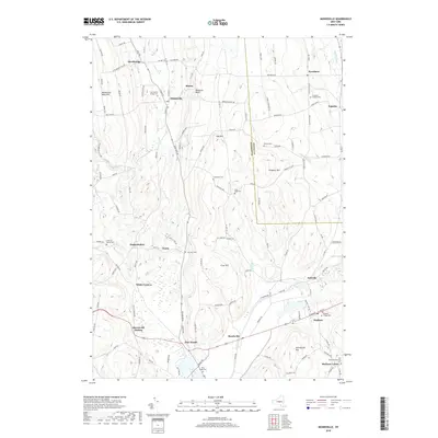
2019 Map of Munnsville
USGS Topo · Published 2019About this map
Munnsville and the agricultural valleys of central New York define this landscape where the headwaters of Oneida Cr and Oriskany Cr originate. The region is characterized by a series of distinct ridges and hills, including Munnsville West Hill, Oak Hill, and Johnnycake Hill, which separate the various creek valleys. Small settlements and hamlets like Pratts Hollow, Bouckville, and Solsville are connected by a network of county highways and local roads, illustrating the historical development of these rural communities.
Find a feature on this map
127 named features on this map. Tap any name to fly to it.
Don’t see what you’re looking for? This feature index may not catch every label — zoom into the map to look around manually.
Map Details
Editions of this 2019 Munnsville Map
This is the sole edition of this map. No revisions or reprints were ever made.
Other maps of this area

1895 · Oriskany
USGS Topo · 1:62,500

1895 · Oneida
USGS Topo · 1:62,500

1898 · Oneida
USGS Topo · 1:62,500

1898 · Oriskany
USGS Topo · 1:62,500

1902 · Morrisville
USGS Topo · 1:62,500

1902 · Oneida
USGS Topo · 1:62,500

1907 · Sangerfield
USGS Topo · 1:62,500

1939 · Oneida
USGS Topo · 1:62,500

1943 · West Eaton
USGS Topo · 1:24,000

1943 · Morrisville
USGS Topo · 1:24,000