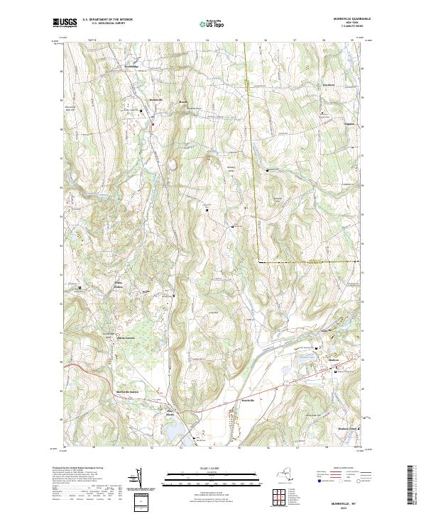
2023 Map of Munnsville
USGS Topo · Published 2023About this map
Oneida Creek and Oriskany Creek carve through this central New York landscape, defining the topography between the villages of Munnsville and Madison. The terrain is marked by significant elevations such as Munnsville West Hill and Johnnycake Hill, which overlook a network of valley settlements including Pratts Hollow, Bouckville, and Solsville. This modern record reveals a deep layers of local history, preserved through numerous burial grounds like Munnsville Village Cem and the Knoxboro - Augusta Cem. The drainage patterns, particularly around Madison Lake and Lyons Pond, illustrate the intricate headwaters that have shaped the agricultural and residential development of this region. Tracing the paths of Blue Creek and Sconondoa Creek, one can observe how the rural infrastructure connects small hamlets like Pine Woods and White Corners across the Madison and Oneida County line.
Find a feature on this map
126 named features on this map. Tap any name to fly to it.
Don’t see what you’re looking for? This feature index may not catch every label — zoom into the map to look around manually.
Map Details
Editions of this 2023 Munnsville Map
This is the sole edition of this map. No revisions or reprints were ever made.
Other maps of this area

1895 · Oriskany
USGS Topo · 1:62,500

1895 · Oneida
USGS Topo · 1:62,500

1898 · Oneida
USGS Topo · 1:62,500

1898 · Oriskany
USGS Topo · 1:62,500

1902 · Morrisville
USGS Topo · 1:62,500

1902 · Oneida
USGS Topo · 1:62,500

1907 · Sangerfield
USGS Topo · 1:62,500

1939 · Oneida
USGS Topo · 1:62,500

1943 · West Eaton
USGS Topo · 1:24,000

1943 · Morrisville
USGS Topo · 1:24,000