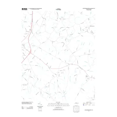
2013 Map of Murchisontown
USGS Topo · Published 2013About this map
Cameron serves as a primary hub in this Moore County landscape, where the Jefferson Davis Hwy and several regional routes converge. The area is defined by a dense network of watercourses, including the winding Little Crane Cr and Juniper Cr, which feed into larger systems like Gum Swamp. These tributaries create a fractured terrain of ridges and lowlands, most notably marked by the elevation at Round Top.
Find a feature on this map
158 named features on this map. Tap any name to fly to it.
Don’t see what you’re looking for? This feature index may not catch every label — zoom into the map to look around manually.
Map Details
Editions of this 2013 Murchisontown Map
This is the sole edition of this map. No revisions or reprints were ever made.
Other maps of this area

1948 · Southern Pines
USGS Topo · 1:62,500

1948 · Clifdale
USGS Topo · 1:62,500

1950 · Lobelia
USGS Topo · 1:24,000

1950 · Niagara
USGS Topo · 1:24,000

1951 · Clifdale
USGS Topo · 1:62,500

1953 · Raleigh
USGS Topo · 1:250,000

1954 · Raleigh
USGS Topo · 1:250,000

1957 · Murchisontown
USGS Topo · 1:24,000

1957 · Southern Pines
USGS Topo · 1:62,500
1957 · Niagara
USGS Topo · 1:24,000