
1951 Map of Murdo 3 NW
USGS Topo · Published 1953About this map
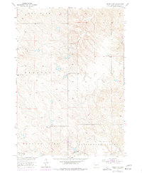
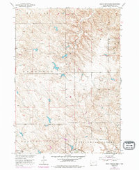
Cottonwood Valley and the expansive ranchlands of Mellette County define this 1951 topographical study, conducted as part of the Department of the Interior's Missouri River Basin development program. The landscape is characterized by a network of drainage features such as Round-up Creek and Cottonwood Creek, which carve through the distinct terrain of Red Fish, Prospect, and Running Bird. Settlement is sparse, highlighting the isolated nature of West River ranching life in the mid-century. Important local landmarks for genealogists and historians include the UP Ranch and the Round-up Sch, which served as a focal point for the rural community near Round-up Gulch. The map's detailed contouring captures the complex breaks and ridges typical of this part of the Great Plains before modern agricultural and infrastructure changes altered many rural school and ranching districts.
Find a feature on this map
9 named features on this map. Tap any name to fly to it.
Don’t see what you’re looking for? This feature index may not catch every label — zoom into the map to look around manually.
Map Details
Editions of this 1951 Murdo 3 NW Map
3 editions found
Other maps of this area

1951 · Stamford SE
USGS Topo · 1:24,000

1951 · Cedar Butte NE
USGS Topo · 1:24,000

1951 · Okaton SW
USGS Topo · 1:24,000

1951 · Murdo 3 NE
USGS Topo · 1:24,000

1951 · Okaton SE
USGS Topo · 1:24,000

1955 · Martin
USGS Topo · 1:250,000

1958 · Martin
USGS Topo · 1:250,000

1980 · Kadoka
USGS Topo · 1:100,000

1981 · Cedar Butte
USGS Topo · 1:25,000
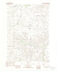
1982 · Murdo 3 NW
USGS Topo · 1:25,000