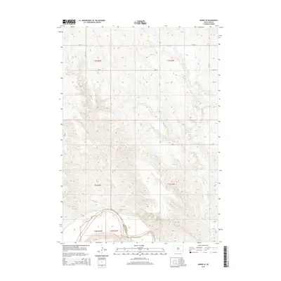
2015 Map of Murdo SE
USGS Topo · Published 2015About this map
The White River carves a sharp, winding boundary across the southern edge of this landscape, marking the transition between Jones Co and Mellette Co. This 2015 survey illustrates a sparsely settled area of South Dakota dominated by a network of ephemeral watercourses and section-line roads. The drainage pattern is defined by several prominent creeks, including Spring Creek and Johnny Creek in the west, while the extensive Bull Creek system branches across the eastern half of the map. The terrain is characterized by dissected breaks leading down to the river valley, with a grid of rural infrastructure such as 244th St and 281st Ave providing access to the expansive agricultural and grazing lands above the river bluffs.
Find a feature on this map
17 named features on this map. Tap any name to fly to it.
Don’t see what you’re looking for? This feature index may not catch every label — zoom into the map to look around manually.
Map Details
Editions of this 2015 Murdo SE Map
This is the sole edition of this map. No revisions or reprints were ever made.
Other maps of this area

1951 · Murdo SE
USGS Topo · 1:24,000

1951 · White River NE
USGS Topo · 1:24,000

1951 · Westover
USGS Topo · 1:24,000

1951 · Badnation NW
USGS Topo · 1:24,000

1951 · Murdo SW
USGS Topo · 1:24,000

1955 · Martin
USGS Topo · 1:250,000

1958 · Martin
USGS Topo · 1:250,000

1970 · Vivian SW
USGS Topo · 1:24,000

1972 · Draper
USGS Topo · 1:24,000

1972 · Murdo
USGS Topo · 1:24,000