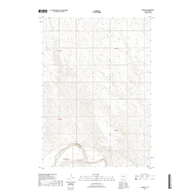
2017 Map of Murdo SE
USGS Topo · Published 2017About this map
White River defines the southern boundary of this landscape, where the waters of Bull Cr and Spring Cr flow through a series of complex draws and drainage networks. Located on the border of Jones and Mellette Counties, the area is characterized by the convergence of several intermittent stream beds including Johnny Cr. The map details the rural infrastructure of the late 2010s, showing a sparse grid of section lines and county thoroughfares such as Co Rd 56 and 279th Ave that navigate the high-relief terrain leading down to the river valley. This survey provides a precise look at the land partitions and natural hydrology of the Swift Bear Segment, reflecting the open-range character of this South Dakota region.
Find a feature on this map
14 named features on this map. Tap any name to fly to it.
Don’t see what you’re looking for? This feature index may not catch every label — zoom into the map to look around manually.
Map Details
Editions of this 2017 Murdo SE Map
This is the sole edition of this map. No revisions or reprints were ever made.
Other maps of this area

1951 · Murdo SE
USGS Topo · 1:24,000

1951 · White River NE
USGS Topo · 1:24,000

1951 · Westover
USGS Topo · 1:24,000

1951 · Badnation NW
USGS Topo · 1:24,000

1951 · Murdo SW
USGS Topo · 1:24,000

1955 · Martin
USGS Topo · 1:250,000

1958 · Martin
USGS Topo · 1:250,000

1970 · Vivian SW
USGS Topo · 1:24,000

1972 · Draper
USGS Topo · 1:24,000

1972 · Murdo
USGS Topo · 1:24,000