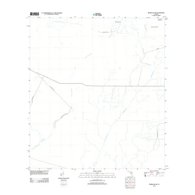
2012 Map of Murdock NW
USGS Topo · Published 2012About this map
Mossy Island Slough and Deer Prairie Slough dominate this section of Sarasota County, where the landscape is defined by the slow movement of water through the coastal lowlands. The geography is punctuated by isolated hardwood stands, or hammocks, including Cat Hammock, Messer Hammock, and the curiously named Clay Hole Hammock. These elevated features provide stable ground amidst a network of natural and engineered waterways like Mud Slough and the Big Slough Canal, which reflect efforts to manage the region's hydrology.
Find a feature on this map
13 named features on this map. Tap any name to fly to it.
Don’t see what you’re looking for? This feature index may not catch every label — zoom into the map to look around manually.
Map Details
Editions of this 2012 Murdock NW Map
This is the sole edition of this map. No revisions or reprints were ever made.
Other maps of this area

1944 · Lower Myakka Lake
USGS Topo · 1:31,680

1944 · Myakka River
USGS Topo · 1:31,680

1944 · Miakka
USGS Topo · 1:31,680

1956 · Murdock
USGS Topo · 1:24,000

1956 · Myakka City
USGS Topo · 1:24,000

1956 · Edgeville
USGS Topo · 1:24,000

1956 · Murdock SE
USGS Topo · 1:24,000

1956 · Murdock NE
USGS Topo · 1:24,000

1956 · Murdock NW
USGS Topo · 1:24,000

1956 · Tampa
USGS Topo · 1:250,000