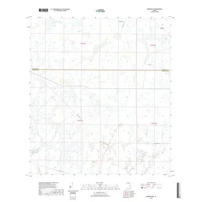
2018 Map of Murdock NW
USGS Topo · Published 2018About this map
Mossy Island Slough and Deer Prairie Slough dominate this low-lying landscape along the boundary between Manatee and Sarasota counties. The terrain is characterized by a network of drainage and wetlands, where hammocks like Cat Hammock and Messer Hammock provide slight elevation amidst the surrounding sawgrass and sloughs. This 2018 survey illustrates a region defined by large-scale land management and natural preservation, notably the presence of the Big Slough Canal which manages water flow through the southern portion of the quadrangle.
Find a feature on this map
18 named features on this map. Tap any name to fly to it.
Don’t see what you’re looking for? This feature index may not catch every label — zoom into the map to look around manually.
Map Details
Editions of this 2018 Murdock NW Map
This is the sole edition of this map. No revisions or reprints were ever made.
Other maps of this area

1944 · Lower Myakka Lake
USGS Topo · 1:31,680

1944 · Myakka River
USGS Topo · 1:31,680

1944 · Miakka
USGS Topo · 1:31,680

1956 · Murdock
USGS Topo · 1:24,000

1956 · Myakka City
USGS Topo · 1:24,000

1956 · Edgeville
USGS Topo · 1:24,000

1956 · Murdock SE
USGS Topo · 1:24,000

1956 · Murdock NE
USGS Topo · 1:24,000

1956 · Murdock NW
USGS Topo · 1:24,000

1956 · Tampa
USGS Topo · 1:250,000