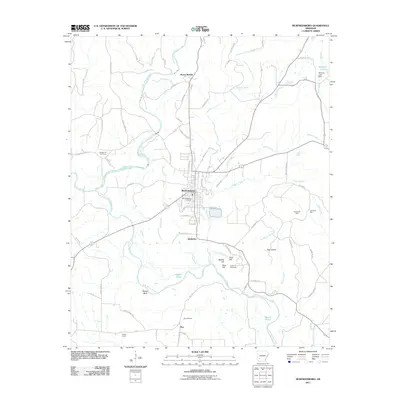
2011 Map of Murfreesboro
USGS Topo · Published 2011About this map
Murfreesboro sits at the junction of Prairie Creek and the Little Missouri River, serving as the central hub of this Pike County landscape. To the south, the world-renowned Crater of Diamonds and the neighboring Kimberlite Mine and American Mine reflect the area’s unique geologic history and industrial mineral focus. The river valley is defined by distinct landmarks such as Plaster Bluff and the rising elevations of West Hill, Middle Hill, and East Hill.
Find a feature on this map
48 named features on this map. Tap any name to fly to it.
Don’t see what you’re looking for? This feature index may not catch every label — zoom into the map to look around manually.
Map Details
Editions of this 2011 Murfreesboro Map
This is the sole edition of this map. No revisions or reprints were ever made.
Other maps of this area

1906 · Caddo Gap
USGS Topo · 1:125,000

1951 · Nashville
USGS Topo · 1:24,000

1951 · Pisgah
USGS Topo · 1:24,000

1951 · McCaskill
USGS Topo · 1:24,000

1953 · El Dorado
USGS Topo · 1:250,000

1955 · Little Rock
USGS Topo · 1:250,000

1956 · Little Rock
USGS Topo · 1:250,000

1957 · El Dorado
USGS Topo · 1:250,000

1958 · El Dorado
USGS Topo · 1:250,000

1960 · El Dorado
USGS Topo · 1:250,000