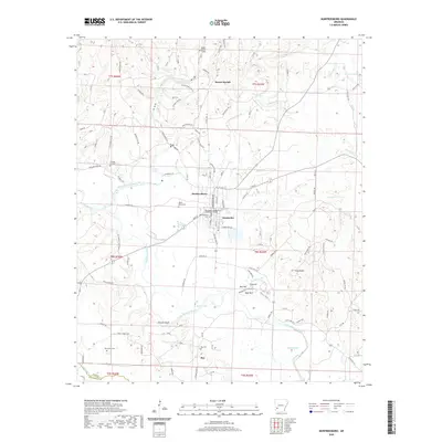
2020 Map of Murfreesboro
USGS Topo · Published 2020About this map
Murfreesboro serves as the focal point of this Pike County landscape, anchored by the Pike County Courthouse and several community landmarks. The Little Missouri River meanders through the terrain, passing the distinctive Plaster Bluff and Alford Lake as it moves south. The area's settlement history is etched into the map through a network of rural burial grounds, including Murfreesboro Cem, Valley Grove Cem, and College Hill Cem. To the north, the label Old Factory Site Rd alludes to earlier industrial activity near Mount Moriah, while the small community of Kimberley sits just east of the county seat. The topography is defined by a series of prominent elevations south of town, notably East Hill, Mid Hill, and West Hill, alongside the double peaks of Twin Knobs.
Find a feature on this map
128 named features on this map. Tap any name to fly to it.
Don’t see what you’re looking for? This feature index may not catch every label — zoom into the map to look around manually.
Map Details
Editions of this 2020 Murfreesboro Map
This is the sole edition of this map. No revisions or reprints were ever made.
Other maps of this area

1906 · Caddo Gap
USGS Topo · 1:125,000

1951 · Nashville
USGS Topo · 1:24,000

1951 · Pisgah
USGS Topo · 1:24,000

1951 · McCaskill
USGS Topo · 1:24,000

1953 · El Dorado
USGS Topo · 1:250,000

1955 · Little Rock
USGS Topo · 1:250,000

1956 · Little Rock
USGS Topo · 1:250,000

1957 · El Dorado
USGS Topo · 1:250,000

1958 · El Dorado
USGS Topo · 1:250,000

1960 · El Dorado
USGS Topo · 1:250,000