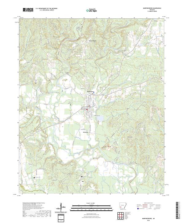
2024 Map of Murfreesboro
USGS Topo · Published 2024About this map
The Little Missouri River meanders through this portion of Pike County, serving as a primary geographical anchor for the seat at Murfreesboro. Centered on the Pike County Courthouse, the town layout is detailed alongside the nearby community of Kimberley. The landscape is defined by the river’s floodplain and distinctive topographical markers like Plaster Bluff and the Twin Knobs to the east. Several ancestral burial sites are documented across the rural landscape, including College Hill Cem, Valley Grove Cem, and Murfreesboro Cem. North of the main settlement, Mount Moriah and its associated Mount Moriah Field indicate localized agricultural or open-space usage. The southern reaches of the map show the small settlement of Roy and its namesake Roy Cem, illustrating the scattered nature of rural Arkansas communities connected by a network of state highways and county roads.
Find a feature on this map
130 named features on this map. Tap any name to fly to it.
Don’t see what you’re looking for? This feature index may not catch every label — zoom into the map to look around manually.
Map Details
Editions of this 2024 Murfreesboro Map
This is the sole edition of this map. No revisions or reprints were ever made.
Other maps of this area

1906 · Caddo Gap
USGS Topo · 1:125,000

1951 · Nashville
USGS Topo · 1:24,000

1951 · Pisgah
USGS Topo · 1:24,000

1951 · McCaskill
USGS Topo · 1:24,000

1953 · El Dorado
USGS Topo · 1:250,000

1955 · Little Rock
USGS Topo · 1:250,000

1956 · Little Rock
USGS Topo · 1:250,000

1957 · El Dorado
USGS Topo · 1:250,000

1958 · El Dorado
USGS Topo · 1:250,000

1960 · El Dorado
USGS Topo · 1:250,000