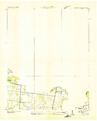
1950 Map of Murfreesboro
USGS Topo · Published 1973About this map
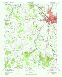
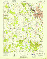
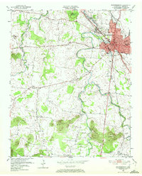
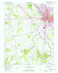
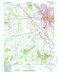
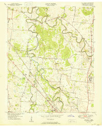
Murfreesboro serves as the focal point of this 1950 survey, appearing as a growing mid-century hub at the intersection of the Nashville Chattanooga and St Louis RR and the St Louis and San Francisco RR. To the northwest, the Stones River National Battlefield preserves the memory of the Civil War, with specific markers like Mil Park Gen Bragg Hdqrs and Mil Park Brannons Redoubt indicating key tactical positions along the riverbanks.
Find a feature on this map
49 named features on this map. Tap any name to fly to it.
Don’t see what you’re looking for? This feature index may not catch every label — zoom into the map to look around manually.
Map Details
Editions of this 1950 Murfreesboro Map
5 editions found
Other maps of this area
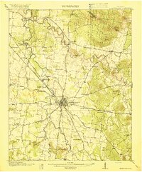
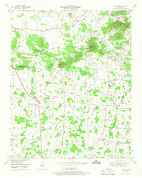
1916 · Murfreesboro
USGS Topo · 1:62,500
1936 · Webbs Jungle
USGS Topo · 1:24,000
1936 · Rover
USGS Topo · 1:24,000
1936 · Fosterville
USGS Topo · 1:24,000

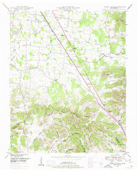
1942 · Lebanon
USGS Topo · 1:100,000

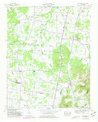
1944 · Shelbyville
USGS Topo · 1:100,000
1949 · Rover
USGS Topo · 1:24,000
1949 · Webbs Jungle
USGS Topo · 1:24,000
1949 · Fosterville
USGS Topo · 1:24,000
1950 · Walterhill
USGS Topo · 1:24,000
Featured Places
- Murfreesboro, TN
- Dixieland, TN
- Southern Aire, Murfreesboro
- Franklin Road Estates, Murfreesboro
- Ridgefield, Murfreesboro