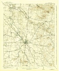
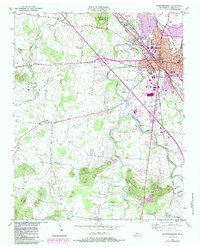
1985 Map of Murfreesboro
USGS Topo · Published 1986This historical map portrays the area of Murfreesboro in 1985, primarily covering Rutherford County as well as portions of Davidson County, Cannon County, Williamson County, Marshall County, Wilson County, Maury County, DeKalb County, Coffee County, and Bedford County. Featuring a scale of 1:100000, this map provides a highly detailed snapshot of the terrain, roads, buildings, counties, and historical landmarks in the Murfreesboro region at the time. Published in 1986, it is the sole known edition of this map.
Find a feature on this map
176 named features on this map. Tap any name to fly to it.
Don’t see what you’re looking for? This feature index may not catch every label — zoom into the map to look around manually.
Map Details
Editions of this 1985 Murfreesboro Map
This is the sole edition of this map. No revisions or reprints were ever made.
Historical Maps of Mount View Estates Through Time
3 maps found