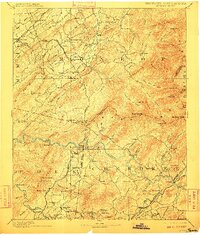
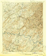
1893 Map of Murphy
USGS Topo · Published 1910About this map
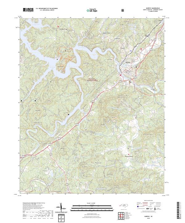
Murphy and the surrounding borderlands of Cherokee and Monroe counties are documented here during a period of industrial transition in the late nineteenth century. The map highlights a landscape defined by the Hiwassee River and the high peaks of the Unaka Mountain range, where early copper mining operations like the Isabella Mine and Mary Mine near Ducktown were already established. This survey predates the major damming projects of the twentieth century, showing the original river courses punctuated by vital crossings such as Shallow Fd and Barnes Fy..
Find a feature on this map
164 named features on this map. Tap any name to fly to it.
Don’t see what you’re looking for? This feature index may not catch every label — zoom into the map to look around manually.
Map Details
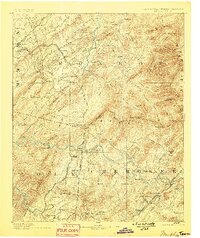
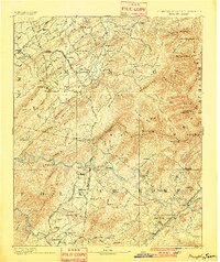
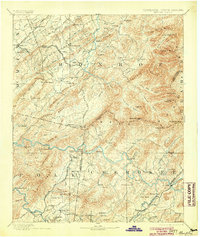
Editions of this 1893 Murphy Map
5 editions found

Historical Maps of Madisonville Through Time
10 maps found
1893 Murphy
Cherokee County, NC
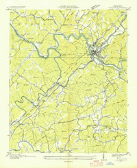
1914 Murphy
Cherokee County, NC
1934 Murphy
Cherokee County, NC
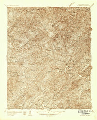
1934 Murphy
Cherokee County, NC
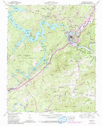
1957 Murphy
Cherokee County, NC
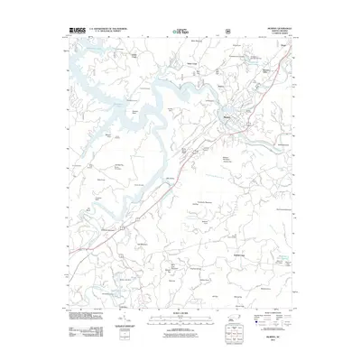
2011 Murphy
Cherokee County, NC
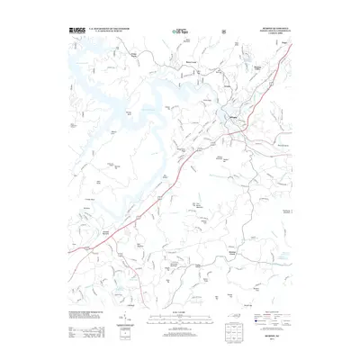
2013 Murphy
Cherokee County, NC
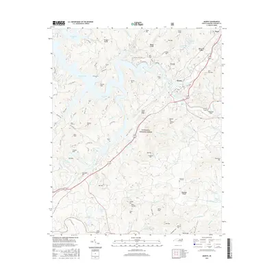
2016 Murphy
Cherokee County, NC
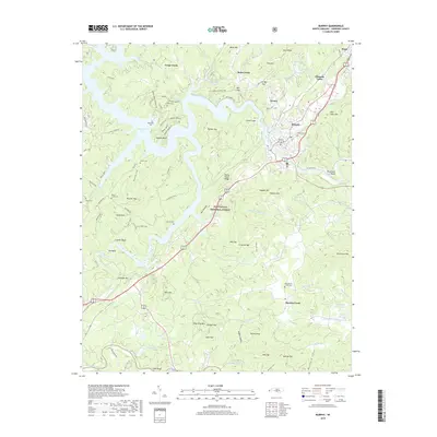
2019 Murphy
Cherokee County, NC
2022 Murphy
Cherokee County, NC