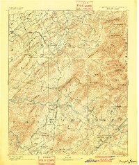
1893 Map of Murphy
USGS Topo · Published 1901About this map
The Hiwassee River carves a deep path through this borderland region at the turn of the century, serving as the central artery for the rugged landscape of Cherokee County and its neighbors. In the southern reaches, the mining industry is well-established near Ducktown, where the Isabella Mine and Old Ten Mine mark the copper-rich hills. Transportation networks are in a state of transition, with the historic Federal Road cutting across the north while three distinct rail lines, including the Marietta and North Georgia R.R. and the Western N.C. R.R., push into the valleys to connect timber and mineral resources. Small mountain settlements like Tellico Plains and Rural Vale are scattered among prominent peaks such as Starr Mountain and Beaverdam Bald, illustrating a period when remote mountain coves were first being integrated into larger industrial economies.
Find a feature on this map
149 named features on this map. Tap any name to fly to it.
Don’t see what you’re looking for? This feature index may not catch every label — zoom into the map to look around manually.
Map Details
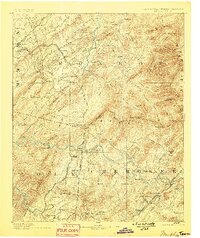
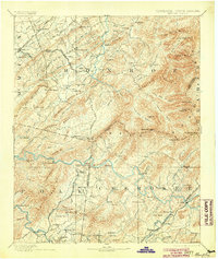
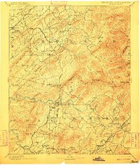
Editions of this 1893 Murphy Map
5 editions found

Other maps of this area

1886 · Dalton
USGS Topo · 1:125,000

1886 · Cleveland
USGS Topo · 1:125,000

1886 · Knoxville
USGS Topo · 1:125,000

1886 · Dahlonega
USGS Topo · 1:125,000

1887 · Kingston
USGS Topo · 1:125,000

1888 · Ellijay
USGS Topo · 1:125,000

1891 · Kingston
USGS Topo · 1:125,000

1892 · Dahlonega
USGS Topo · 1:125,000

1892 · Cleveland
USGS Topo · 1:125,000

1892 · Ellijay
USGS Topo · 1:125,000