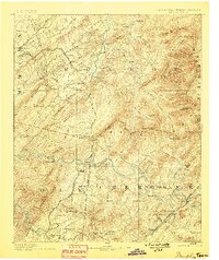
1893 Map of Murphy
USGS Topo · Published 1898About this map
The Tennessee North Carolina Boundary Line carves a jagged path through the high peaks of the Blue Ridge in this nineteenth-century survey. Heavy industrial footprints are evident in the southern reaches, where the Isabella Mine, Old Ten Mine, and Mary Mine mark the copper-rich basin near Ducktown. This era of extractive growth is further signaled by a dense network of competing rail lines, including the Marietta and North Georgia R.R. and the Nashville and Tellico R.R., which bypassed older thoroughfares like the Old Federal Road. To the east, the Hiwassee River winds past Hiwassee Sta. toward the mountain-guarded settlement of Murphy. High-elevation landmarks such as Beaverdam Bald and Mc Daniel Bald dominate the eastern topography, while lower valleys are defined by smaller outposts like Postell, Turtletown, and Tellico Plains.
Find a feature on this map
144 named features on this map. Tap any name to fly to it.
Don’t see what you’re looking for? This feature index may not catch every label — zoom into the map to look around manually.
Map Details
Editions of this 1893 Murphy Map
5 editions found

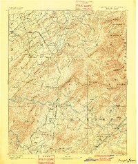
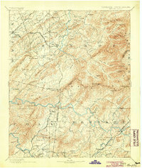
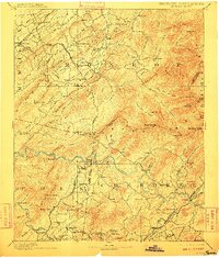
Other maps of this area

1886 · Dalton
USGS Topo · 1:125,000

1886 · Cleveland
USGS Topo · 1:125,000

1886 · Knoxville
USGS Topo · 1:125,000

1886 · Dahlonega
USGS Topo · 1:125,000

1887 · Kingston
USGS Topo · 1:125,000

1888 · Ellijay
USGS Topo · 1:125,000

1891 · Kingston
USGS Topo · 1:125,000

1892 · Dahlonega
USGS Topo · 1:125,000

1892 · Cleveland
USGS Topo · 1:125,000

1892 · Ellijay
USGS Topo · 1:125,000