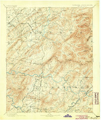
1893 Map of Murphy
USGS Topo · Published 1904About this map
Murphy serves as a focal point at the junction of the Western N.C. R.R. and the Hiwassee River in this late nineteenth-century survey of the Blue Ridge borderlands. The landscape is defined by the heavy presence of early industry and established transportation routes, including the Federal Road and the Marietta and North Georgia R.R. branching through Ducktown. Industrial activity is highlighted by the Isabella Mine and Mary Mine near the southern border, while the northern reaches show the development around Tellico Plains and the Nashville and Tellico R.R.
Find a feature on this map
153 named features on this map. Tap any name to fly to it.
Don’t see what you’re looking for? This feature index may not catch every label — zoom into the map to look around manually.
Map Details
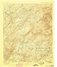
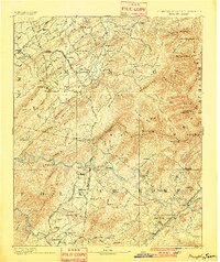
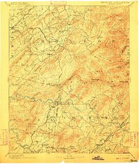
Editions of this 1893 Murphy Map
5 editions found

Other maps of this area

1886 · Dalton
USGS Topo · 1:125,000

1886 · Cleveland
USGS Topo · 1:125,000

1886 · Knoxville
USGS Topo · 1:125,000

1886 · Dahlonega
USGS Topo · 1:125,000

1887 · Kingston
USGS Topo · 1:125,000

1888 · Ellijay
USGS Topo · 1:125,000

1891 · Kingston
USGS Topo · 1:125,000

1892 · Dahlonega
USGS Topo · 1:125,000

1892 · Cleveland
USGS Topo · 1:125,000

1892 · Ellijay
USGS Topo · 1:125,000