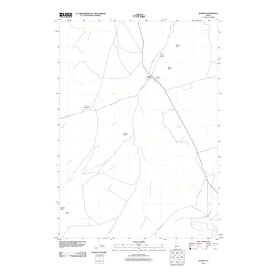
2010 Map of Murphy
USGS Topo · Published 2010About this map
Murphy serves as the focal point of this arid Owyhee County landscape, situated where the high desert terrain meets established travel corridors like Silver City Rd. The area's history of transit and resource extraction is evident through the path of the Reynolds Creek Stage Rd and the presence of the Matteson Mine near Federal Butte. Water management, essential for life in this environment, is marked by the Murphy Mutual Canal and numerous seasonal drainages such as South Fork Rabbit Creek and Scorpion Creek. Prominent geological formations, including the Murphy Rim and Flatiron Ridge, define the local topography, while the Murphy Airport indicates the modern infrastructure supporting this rural seat. This survey documents the intersection of old stage routes and contemporary irrigation systems within the high basin geography.
Find a feature on this map
21 named features on this map. Tap any name to fly to it.
Don’t see what you’re looking for? This feature index may not catch every label — zoom into the map to look around manually.
Map Details
Editions of this 2010 Murphy Map
This is the sole edition of this map. No revisions or reprints were ever made.
Other maps of this area
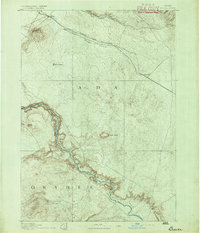
1892 · Bisuka
USGS Topo · 1:125,000
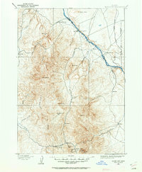
1892 · Silver City
USGS Topo · 1:125,000
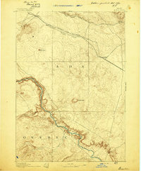
1894 · Bisuka
USGS Topo · 1:125,000
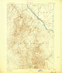
1894 · Silver City
USGS Topo · 1:125,000
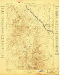
1898 · Silver City
USGS Topo · 1:125,000
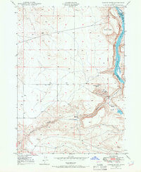
1948 · Sinker Butte
USGS Topo · 1:24,000
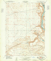
1949 · Sinker Butte
USGS Topo · 1:24,000
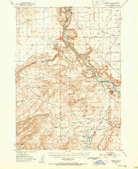
1949 · Oreana
USGS Topo · 1:62,500
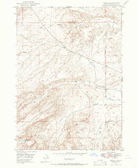
1949 · Oreana
USGS Topo · 1:24,000
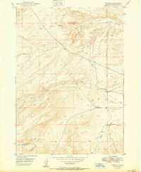
1950 · Oreana
USGS Topo · 1:24,000