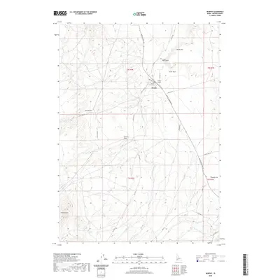
2020 Map of Murphy
USGS Topo · Published 2020About this map
The settlement of Murphy serves as the focal point for this Owyhee County study, highlighting its role as a civic center anchored by the Murphy Courthouse. Situated above the high desert terrain of Murphy Flat, the town is surrounded by a complex network of drainage and springs, including Point of Rocks Spring and Success Spring. The landscape is defined by dramatic topographic shifts, from the sharp elevation of Murphy Rim to the enclosed Striker Basin, illustrating the transition from open range to the foothills.
Find a feature on this map
42 named features on this map. Tap any name to fly to it.
Don’t see what you’re looking for? This feature index may not catch every label — zoom into the map to look around manually.
Map Details
Editions of this 2020 Murphy Map
This is the sole edition of this map. No revisions or reprints were ever made.
Other maps of this area
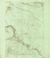
1892 · Bisuka
USGS Topo · 1:125,000
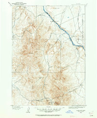
1892 · Silver City
USGS Topo · 1:125,000
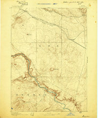
1894 · Bisuka
USGS Topo · 1:125,000
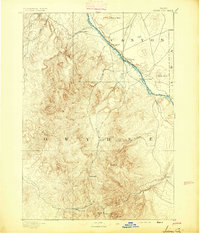
1894 · Silver City
USGS Topo · 1:125,000
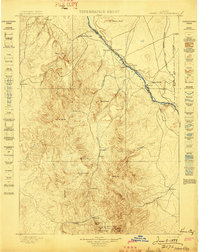
1898 · Silver City
USGS Topo · 1:125,000
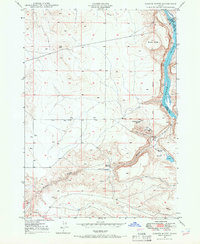
1948 · Sinker Butte
USGS Topo · 1:24,000
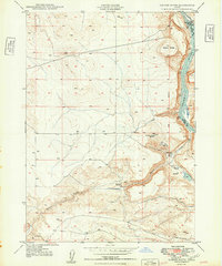
1949 · Sinker Butte
USGS Topo · 1:24,000
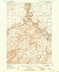
1949 · Oreana
USGS Topo · 1:62,500
1949 · Oreana
USGS Topo · 1:24,000
1950 · Oreana
USGS Topo · 1:24,000