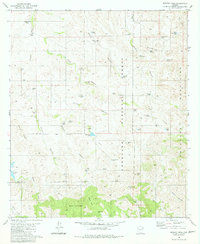
1981 Map of Murphy Peak
USGS Topo · Published 1981About this map
The high desert terrain of the Tumacacori Mountains and Coronado National Forest dominates this landscape, defined by a critical network of water improvements. Cattle ranching and land management are evident through numerous named water sources like Mayza Tank, Lower Sardina Well, and Amole Tank. The rugged relief is punctuated by Murphy Peak and Dicks Peak, while the southwestern corner features the prominent Arivaca Lake.
Find a feature on this map
59 named features on this map. Tap any name to fly to it.
Don’t see what you’re looking for? This feature index may not catch every label — zoom into the map to look around manually.
Map Details
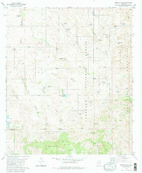
Editions of this 1981 Murphy Peak Map
2 editions found
Other maps of this area

1920 · Arivaca
USGS Topo · 1:125,000

1921 · Old Glory
USGS Topo · 1:125,000

1939 · Tubac
USGS Topo · 1:62,500

1941 · Arivaca
USGS Topo · 1:62,500

1942 · Ruby
USGS Topo · 1:62,500

1942 · Oro Blanco
USGS Topo · 1:62,500

1943 · Arivaca
USGS Topo · 1:62,500

1943 · Old Glory
USGS Topo · 1:125,000

1943 · Tubac
USGS Topo · 1:62,500

1944 · Oro Blanco
USGS Topo · 1:62,500