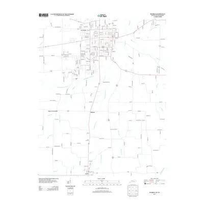
2013 Map of Murray
USGS Topo · Published 2013About this map
The Clarks River and its numerous tributaries, including the Middle Fork Clarks River and the E Fork Clarks River, define the rural and suburban character of southern Calloway County during the early 2010s. The landscape transitions from the developed streets of southern Murray down to the Tennessee state line at Hazel. Smaller rural clusters such as Midway and Bakers Crossroads are situated among a network of family-named roads and drainage basins like White Oak Cr and Pleasant Grove Cr. This era shows a mix of established residential patterns and open fields, with local aviation history represented by the Brandon Airdrome. Genealogists may find particular value in the several documented burial grounds, such as Murray Cem and Green Plains Cem, which serve as physical anchors for the area's local history.
Find a feature on this map
198 named features on this map. Tap any name to fly to it.
Don’t see what you’re looking for? This feature index may not catch every label — zoom into the map to look around manually.
Map Details
Editions of this 2013 Murray Map
This is the sole edition of this map. No revisions or reprints were ever made.
Other maps of this area

1936 · Conyersville
USGS Topo · 1:24,000

1936 · Buchanan
USGS Topo · 1:24,000

1936 · Hazel
USGS Topo · 1:24,000

1936 · New Concord
USGS Topo · 1:24,000

1936 · Crossland
USGS Topo · 1:24,000

1936 · Lynn Grove
USGS Topo · 1:24,000

1936 · Dexter
USGS Topo · 1:24,000

1936 · Hico
USGS Topo · 1:24,000

1936 · Kirksey
USGS Topo · 1:24,000

1942 · New Concord
USGS Topo · 1:24,000