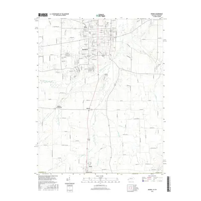
2016 Map of Murray
USGS Topo · Published 2016About this map
Murray serves as the focal point of this 2016 Calloway County survey, showcasing the modern footprint of the Murray State Univ campus and the surrounding residential growth. The landscape is defined by the convergence of several waterways, including the Clarks River and its various branches, which historically shaped the settlement patterns of this western Kentucky region. To the north, the neighborhood of Five Points marks a key junction, while the southern edge of the map reaches the Tennessee border at Hazel.
Find a feature on this map
160 named features on this map. Tap any name to fly to it.
Don’t see what you’re looking for? This feature index may not catch every label — zoom into the map to look around manually.
Map Details
Editions of this 2016 Murray Map
This is the sole edition of this map. No revisions or reprints were ever made.
Other maps of this area

1936 · Conyersville
USGS Topo · 1:24,000

1936 · Buchanan
USGS Topo · 1:24,000

1936 · Hazel
USGS Topo · 1:24,000

1936 · New Concord
USGS Topo · 1:24,000

1936 · Crossland
USGS Topo · 1:24,000

1936 · Lynn Grove
USGS Topo · 1:24,000

1936 · Dexter
USGS Topo · 1:24,000

1936 · Hico
USGS Topo · 1:24,000

1936 · Kirksey
USGS Topo · 1:24,000

1942 · New Concord
USGS Topo · 1:24,000