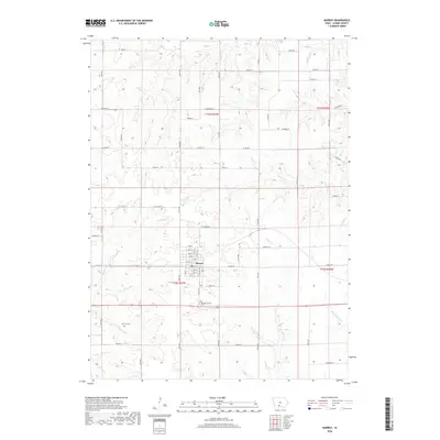
2018 Map of Murray
USGS Topo · Published 2018About this map
The town of Murray serves as the central hub of this Clarke County landscape, situated where a grid of numbered streets like 10th St and 8th St meets the rural road network. This 2018 survey illustrates a high-upland terrain defined by the drainage patterns of numerous waterways, including the winding course of Sevenmile Cr and White Breast Cr. For those tracing local heritage, the map identifies significant landmarks such as Murray Cem south of the town center and Troy Cem further west, both of which anchor the surrounding farmsteads. The area is intersected by a series of named rural routes, such as Co Rd R16 and Co Rd H29, which follow the township lines of t72n r27w and t73n r27w, revealing a community layout that remains deeply tied to the original Public Land Survey System.
Find a feature on this map
57 named features on this map. Tap any name to fly to it.
Don’t see what you’re looking for? This feature index may not catch every label — zoom into the map to look around manually.
Map Details
Editions of this 2018 Murray Map
This is the sole edition of this map. No revisions or reprints were ever made.
Other maps of this area

1951 · Osceola
USGS Topo · 1:62,500

1951 · Afton
USGS Topo · 1:62,500

1954 · Centerville
USGS Topo · 1:250,000

1954 · Omaha
USGS Topo · 1:250,000

1954 · Des Moines
USGS Topo · 1:250,000

1955 · Nebraska City
USGS Topo · 1:250,000

1956 · Des Moines
USGS Topo · 1:250,000

1957 · Des Moines
USGS Topo · 1:250,000

1957 · Nebraska City
USGS Topo · 1:250,000

1957 · Omaha
USGS Topo · 1:250,000