2023 Map of Murray
USGS Topo · Published 2023About this map
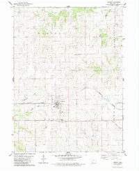
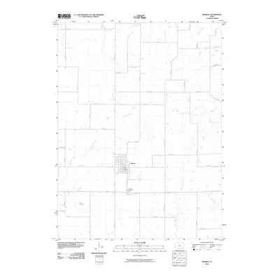
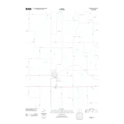
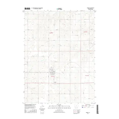
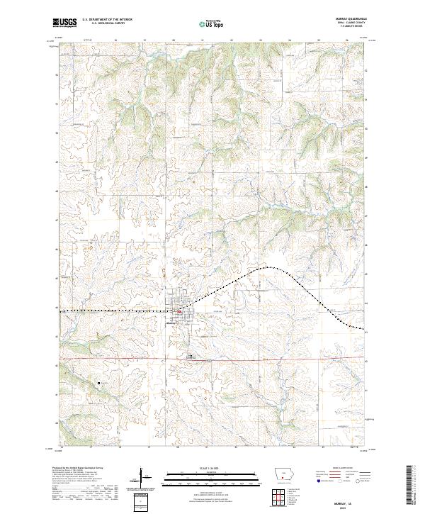
The town of Murray serves as the central hub of this Clarke County landscape, situated where the high ground divides several regional drainage systems. A grid of residential streets including 1st St through 11th St defines the settlement, surrounded by the headwaters of numerous local waterways. The terrain is characterized by the branching patterns of Sevenmile Creek and South River in the west, while White Breast Creek and South West Creek flow toward the east. For genealogists and local historians, the map identifies significant burial sites including Murray Cem and Troy Cem, the latter located south of town near Idaho St. This modern survey reflects the enduring rural character of the region, where a network of county roads like Co RD h2r and Co RD h33 connects farmsteads across the township lines of t72n r27w and t73n r26w.
Find a feature on this map
45 named features on this map. Tap any name to fly to it.
Don’t see what you’re looking for? This feature index may not catch every label — zoom into the map to look around manually.
Map Details
Editions of this 2023 Murray Map
This is the sole edition of this map. No revisions or reprints were ever made.
Historical Maps of Murray Through Time
6 maps found