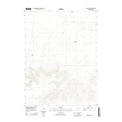
2014 Map of Murray Lake SW
USGS Topo · Published 2014About this map
Bull Canyon and Long Canyon carve through the high plains of Banner County, Nebraska, in this 2014 survey. The landscape is defined by its deep drainage patterns and dramatic elevation shifts, most notably at Clay Springs Draw. This region of the Nebraska Panhandle is sparsely populated, with a grid of county roads providing the primary access through the terrain. A network of routes including CR-30, RD 15, and CR-15 connect the various draws and canyon rims, reflecting a modern land use centered on ranching and large-scale agricultural movement. The intricate contour lines illustrate the complex erosional features that characterize this portion of the High Plains, where the flat tablelands are abruptly interrupted by the branching arms of the canyon systems.
Find a feature on this map
12 named features on this map. Tap any name to fly to it.
Don’t see what you’re looking for? This feature index may not catch every label — zoom into the map to look around manually.
Map Details
Editions of this 2014 Murray Lake SW Map
This is the sole edition of this map. No revisions or reprints were ever made.
Other maps of this area

1898 · Scotts Bluff
USGS Topo · 1:125,000

1899 · Goshen Hole
USGS Topo · 1:125,000

1954 · Scottsbluff
USGS Topo · 1:250,000

1954 · Cheyenne
USGS Topo · 1:250,000

1958 · Cheyenne
USGS Topo · 1:250,000

1958 · Scottsbluff
USGS Topo · 1:250,000

1960 · Tremain
USGS Topo · 1:24,000

1960 · Mc Compsey Pass
USGS Topo · 1:24,000

1960 · Murray Lake
USGS Topo · 1:24,000

1973 · Kimball 2 NE
USGS Topo · 1:24,000