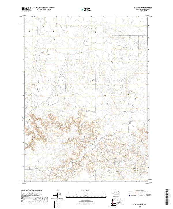
2021 Map of Murray Lake SW
USGS Topo · Published 2021About this map
The high plains of Banner County, Nebraska, are defined here by a network of drainage systems and isolated section roads. The landscape is carved by the prominent Bull Canyon in the west and Long Canyon further south, while Clay Springs Draw cuts through the northeast. These features illustrate the natural erosion patterns typical of the Nebraska Panhandle, where water has sculpted the terrain between vast stretches of open land.
Find a feature on this map
15 named features on this map. Tap any name to fly to it.
Don’t see what you’re looking for? This feature index may not catch every label — zoom into the map to look around manually.
Map Details
Editions of this 2021 Murray Lake SW Map
This is the sole edition of this map. No revisions or reprints were ever made.
Other maps of this area

1898 · Scotts Bluff
USGS Topo · 1:125,000

1899 · Goshen Hole
USGS Topo · 1:125,000

1954 · Scottsbluff
USGS Topo · 1:250,000

1954 · Cheyenne
USGS Topo · 1:250,000

1958 · Cheyenne
USGS Topo · 1:250,000

1958 · Scottsbluff
USGS Topo · 1:250,000

1960 · Tremain
USGS Topo · 1:24,000

1960 · Mc Compsey Pass
USGS Topo · 1:24,000

1960 · Murray Lake
USGS Topo · 1:24,000

1973 · Kimball 2 NE
USGS Topo · 1:24,000