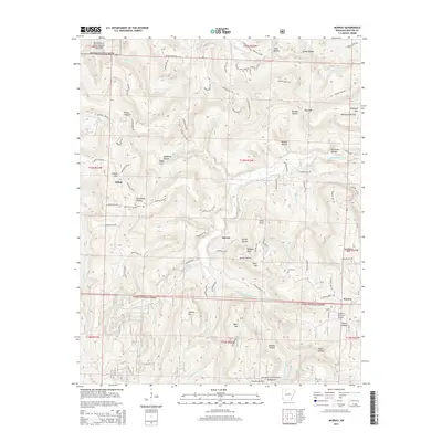
2014 Map of Murray
USGS Topo · Published 2014About this map
The Shiloh community and the settlement of Murray center this survey of the Arkansas Ozarks, where the high ridges of Shiloh Mtn and Taylor Mtn divide numerous hollows and creeks. The landscape is defined by the protected corridors of the Buffalo National River in the north and the Ozark National Forest across the south. Genealogists will find several burial sites including Shiloh Cem, Snow Cem, and Rich Cem, while the local topography is intricately mapped through features like Rainbow Bluff and Long Point. Waterways such as the Little Buffalo River and E Fork Little Buffalo River carve through the terrain, accompanied by a dense network of local roads like Newton 8110 Rd and Newton 8128 Rd that connect isolated homesteads and family-named landmarks such as Douthard Hollow and Thomas Hollow.
Find a feature on this map
89 named features on this map. Tap any name to fly to it.
Don’t see what you’re looking for? This feature index may not catch every label — zoom into the map to look around manually.
Map Details
Editions of this 2014 Murray Map
This is the sole edition of this map. No revisions or reprints were ever made.
Other maps of this area

1904 · Harrison
USGS Topo · 1:125,000

1905 · Harrison
USGS Topo · 1:125,000

1933 · Mt Judea
USGS Topo · 1:62,500

1940 · Mt Judea
USGS Topo · 1:62,500

1945 · Harrison
USGS Topo · 1:250,000

1949 · Harrison
USGS Topo · 1:250,000

1954 · Harrison
USGS Topo · 1:250,000

1956 · Russellville
USGS Topo · 1:250,000

1958 · Harrison
USGS Topo · 1:250,000

1964 · Russellville
USGS Topo · 1:250,000