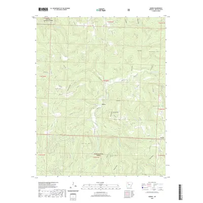
2020 Map of Murray
USGS Topo · Published 2020About this map
Murray and Wayton anchor this corner of Newton County, where the topography is defined by high peaks and deeply cut hollows. In the north, the Buffalo National River corridor follows the path of Running Cr, while the Little Buffalo River winds through the central valley beneath Rainbow Bluff. The map provides a clear record of the high-country road network, with routes like Murray Rd and Newton 8625 Rd connecting isolated settlements across the ridges. Genealogy interest centers on the area's upland burials, including Shiloh Cem on the slopes of Shiloh Mtn, Snow Cem near Taylor Mtn, and Rich Cem in the south near the Ozark National Forest boundary. This landscape of named peaks such as Henderson Mtn and Daniels Mtn highlights the survival of family-named landmarks in the Arkansas Ozarks well into the twenty-first century.
Find a feature on this map
78 named features on this map. Tap any name to fly to it.
Don’t see what you’re looking for? This feature index may not catch every label — zoom into the map to look around manually.
Map Details
Editions of this 2020 Murray Map
This is the sole edition of this map. No revisions or reprints were ever made.
Other maps of this area

1904 · Harrison
USGS Topo · 1:125,000

1905 · Harrison
USGS Topo · 1:125,000

1933 · Mt Judea
USGS Topo · 1:62,500

1940 · Mt Judea
USGS Topo · 1:62,500

1945 · Harrison
USGS Topo · 1:250,000

1949 · Harrison
USGS Topo · 1:250,000

1954 · Harrison
USGS Topo · 1:250,000

1956 · Russellville
USGS Topo · 1:250,000

1958 · Harrison
USGS Topo · 1:250,000

1964 · Russellville
USGS Topo · 1:250,000