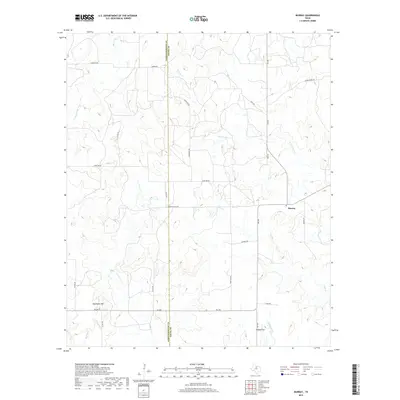
2019 Map of Murray
USGS Topo · Published 2019About this map
The settlement of Murray sits at the intersection of several local routes, serving as a hub for the ranching and agricultural landscape that straddles the Throckmorton Co Young Co line. This 2019 survey documents a terrain defined by its complex drainage network, where the headwaters of Fish Cr and the N Fork Fish Cr carve through the North Texas plains. To the south, the community of Coffee Flat lies near the winding course of Huffstuttle Cr, while Matthews Hill provides a distinct topographic landmark amidst the surrounding draws.
Find a feature on this map
30 named features on this map. Tap any name to fly to it.
Don’t see what you’re looking for? This feature index may not catch every label — zoom into the map to look around manually.
Map Details
Editions of this 2019 Murray Map
This is the sole edition of this map. No revisions or reprints were ever made.
Other maps of this area

1890 · Breckenridge
USGS Topo · 1:125,000

1892 · Albany
USGS Topo · 1:125,000

1893 · Albany
USGS Topo · 1:125,000

1954 · Abilene
USGS Topo · 1:250,000

1954 · Wichita Falls
USGS Topo · 1:250,000

1958 · Wichita Falls
USGS Topo · 1:250,000

1958 · Abilene
USGS Topo · 1:250,000

1965 · Lusk
USGS Topo · 1:24,000

1965 · Throckmorton NE
USGS Topo · 1:24,000
1966 · Woodson
USGS Topo · 1:24,000