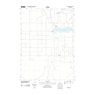
2010 Map of Murtaugh
USGS Topo · Published 2010About this map
Murtaugh and Artesian City stand as central points of settlement in this 2010 topographic record of Twin Falls County, Idaho. The landscape is fundamentally shaped by the complex water infrastructure necessary for high-desert agriculture, characterized by the Twin Falls Main Canal and the Milner Main Canal. These engineered waterways, alongside the Snake River at the northern boundary, demonstrate the heavy reliance on irrigation that has defined the region's development since the early 20th century.
Find a feature on this map
13 named features on this map. Tap any name to fly to it.
Don’t see what you’re looking for? This feature index may not catch every label — zoom into the map to look around manually.
Map Details
Editions of this 2010 Murtaugh Map
This is the sole edition of this map. No revisions or reprints were ever made.
Other maps of this area

1955 · Twin Falls
USGS Topo · 1:250,000

1958 · Twin Falls
USGS Topo · 1:250,000

1964 · Kimberly
USGS Topo · 1:24,000

1964 · Eden
USGS Topo · 1:24,000

1964 · Milner
USGS Topo · 1:24,000

1965 · Rams Horn Ridge
USGS Topo · 1:24,000

1965 · Milner Butte
USGS Topo · 1:24,000

1965 · Stricker Butte
USGS Topo · 1:24,000

1965 · Grand View Peak
USGS Topo · 1:24,000

1965 · Murtaugh
USGS Topo · 1:24,000