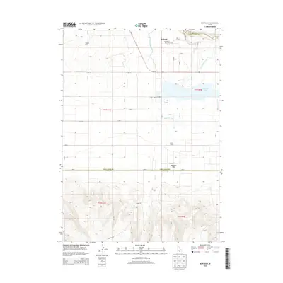
2013 Map of Murtaugh
USGS Topo · Published 2013About this map
Murtaugh serves as the focal point of this Southern Idaho landscape, situated near the northern bend of the Snake River along the border of Jerome and Twin Falls counties. The topography illustrates the critical role of water management in the Magic Valley, with the Twin Falls Main Canal and Milner Main Canal cutting across the terrain to support local agriculture. This engineering effort transformed the high desert into productive farmland, visible in the structured grid of roads like Murtaugh Rd and Us-30 E.
Find a feature on this map
35 named features on this map. Tap any name to fly to it.
Don’t see what you’re looking for? This feature index may not catch every label — zoom into the map to look around manually.
Map Details
Editions of this 2013 Murtaugh Map
This is the sole edition of this map. No revisions or reprints were ever made.
Other maps of this area

1955 · Twin Falls
USGS Topo · 1:250,000

1958 · Twin Falls
USGS Topo · 1:250,000

1964 · Kimberly
USGS Topo · 1:24,000

1964 · Eden
USGS Topo · 1:24,000

1964 · Milner
USGS Topo · 1:24,000

1965 · Rams Horn Ridge
USGS Topo · 1:24,000

1965 · Milner Butte
USGS Topo · 1:24,000

1965 · Stricker Butte
USGS Topo · 1:24,000

1965 · Grand View Peak
USGS Topo · 1:24,000

1965 · Murtaugh
USGS Topo · 1:24,000