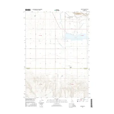
2017 Map of Murtaugh
USGS Topo · Published 2017About this map
Murtaugh and the surrounding irrigation landscape of the Magic Valley are captured here, showcasing a complex network of water engineering essential to the region's agricultural identity. The Snake River cuts across the northern edge of the map, while the Twin Falls Main Canal and Milner Main Canal branch through the terrain to support local farms. The settlement of Artesian City and the small community of Bower serve as local hubs, with the Bower Cem providing a clear point of reference for genealogists researching early families in this part of Twin Falls County.
Find a feature on this map
32 named features on this map. Tap any name to fly to it.
Don’t see what you’re looking for? This feature index may not catch every label — zoom into the map to look around manually.
Map Details
Editions of this 2017 Murtaugh Map
This is the sole edition of this map. No revisions or reprints were ever made.
Other maps of this area

1955 · Twin Falls
USGS Topo · 1:250,000

1958 · Twin Falls
USGS Topo · 1:250,000

1964 · Kimberly
USGS Topo · 1:24,000

1964 · Eden
USGS Topo · 1:24,000

1964 · Milner
USGS Topo · 1:24,000

1965 · Rams Horn Ridge
USGS Topo · 1:24,000

1965 · Milner Butte
USGS Topo · 1:24,000

1965 · Stricker Butte
USGS Topo · 1:24,000

1965 · Grand View Peak
USGS Topo · 1:24,000

1965 · Murtaugh
USGS Topo · 1:24,000