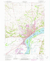
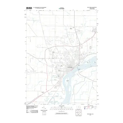
1948 Map of Muscatine
USGS Topo · Published 1948About this map
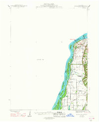
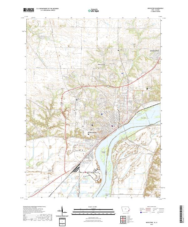
The Mississippi River dominates this mid-century survey, defining the state boundary between Iowa and Illinois. Near Muscatine, the riverine landscape is a complex of side channels and islands, including Blanchard Island and Kilpeck Island, while the eastern floodplain is heavily modified by an extensive drainage system. This network, featuring the Hampton Ditch, Main Ditch, and Eliza Lake Ditch Cutoff, illustrates the transition of the lowlands into productive agricultural territory.
Find a feature on this map
43 named features on this map. Tap any name to fly to it.
Don’t see what you’re looking for? This feature index may not catch every label — zoom into the map to look around manually.
Map Details
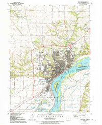
Editions of this 1948 Muscatine Map
2 editions found
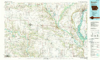
Historical Maps of Muscatine Through Time
9 maps found

1948 Muscatine
Muscatine County, IA
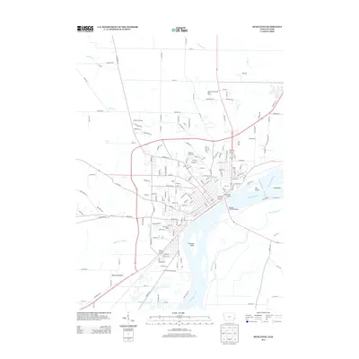
1953 Muscatine
Muscatine County, IA
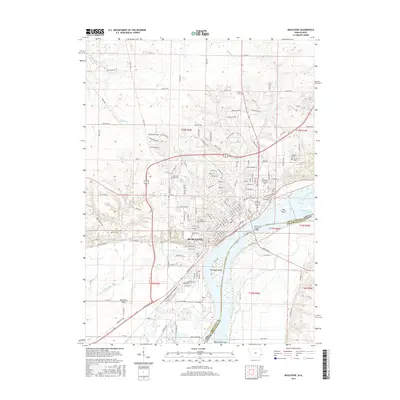
1984 Muscatine
Muscatine County, IA
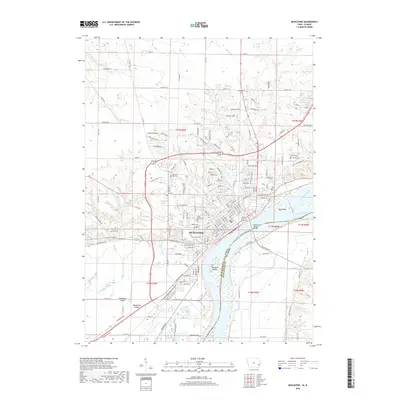
1991 Muscatine
Muscatine County, IA
2010 Muscatine
Muscatine County, IA
2013 Muscatine
Muscatine County, IA
2015 Muscatine
Muscatine County, IA
2018 Muscatine
Muscatine County, IA
2022 Muscatine
Muscatine County, IA