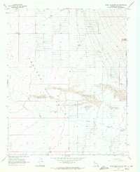
1968 Map of Music Mountains SW
USGS Topo · Published 1971About this map
Hualapai Valley, identified here as a depression, dominates this Mohave County landscape in the late 1960s. The arid basin is defined by substantial Sand Dunes and the ephemeral drainage of Truxton Wash, which cuts through the southern half of the quadrangle. The settlement of Truxton serves as the primary human landmark, surrounded by essential water infrastructure required for ranching and survival in the high desert, such as Crack Tank, Marshall Tank, and Hackberry Tank.
Find a feature on this map
10 named features on this map. Tap any name to fly to it.
Don’t see what you’re looking for? This feature index may not catch every label — zoom into the map to look around manually.
Map Details
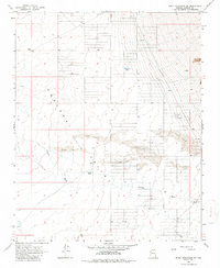
Editions of this 1968 Music Mountains SW Map
2 editions found
Other maps of this area

1886 · Diamond Creek
USGS Topo · 1:250,000

1886 · Camp Mohave
USGS Topo · 1:250,000

1892 · Diamond Creek
USGS Topo · 1:250,000

1892 · Camp Mohave
USGS Topo · 1:250,000

1939 · Chloride
USGS Topo · 1:48,000

1942 · Camp Mohave
USGS Topo · 1:250,000

1944 · Chloride
USGS Topo · 1:62,500

1947 · Kingman
USGS Topo · 1:250,000

1948 · Kingman
USGS Topo · 1:250,000

1948 · Williams
USGS Topo · 1:250,000