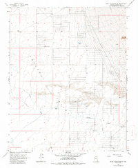
1968 Map of Music Mountains SW
USGS Topo · Published 1986About this map
The Hualapai Valley (Depression) defines this stretch of the Mojave Desert, where wide desert basins meet complex geological formations. Mapping efforts conducted by the Geological Survey in the late 1960s reveal a landscape dominated by drainage patterns and seasonal water catchments. The Truxton Wash meanders across the territory, a vital ephemeral waterway in an arid environment. Human activity is evidenced by several remote water storage sites such as Marshall Tank, Hackberry Tank, and Crack Tank, alongside an isolated Corral. These features, combined with significant areas of Sand Dunes, illustrate the challenges of ranching and land management in the high desert before modern developments altered the region's accessibility.
Find a feature on this map
11 named features on this map. Tap any name to fly to it.
Don’t see what you’re looking for? This feature index may not catch every label — zoom into the map to look around manually.
Map Details
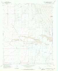
Editions of this 1968 Music Mountains SW Map
2 editions found
Other maps of this area

1886 · Diamond Creek
USGS Topo · 1:250,000

1886 · Camp Mohave
USGS Topo · 1:250,000

1892 · Diamond Creek
USGS Topo · 1:250,000

1892 · Camp Mohave
USGS Topo · 1:250,000

1939 · Chloride
USGS Topo · 1:48,000

1942 · Camp Mohave
USGS Topo · 1:250,000

1944 · Chloride
USGS Topo · 1:62,500

1947 · Kingman
USGS Topo · 1:250,000

1948 · Kingman
USGS Topo · 1:250,000

1948 · Williams
USGS Topo · 1:250,000