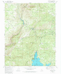
1982 Map of Musick Mtn
USGS Topo · Published 1987About this map
San Joaquin Mines and the industrial infrastructure of the upper San Joaquin River define this high-altitude landscape within the Sierra National Forest. The map documents a complex network of hydroelectric power production, featuring the Mammoth Pool Powerhouse, Powerhouse 8, and an extensive aqueduct system moving water through the granite terrain. These engineering feats are contrasted by the rugged wilderness of the Kaiser Wilderness in the northeast and the prominent peaks of Musick Mountain and Ely Mountain.
Find a feature on this map
53 named features on this map. Tap any name to fly to it.
Don’t see what you’re looking for? This feature index may not catch every label — zoom into the map to look around manually.
Map Details
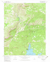
Editions of this 1982 Musick Mtn Map
2 editions found
Other maps of this area

1904 · Kaiser
USGS Topo · 1:125,000

1947 · Mariposa
USGS Topo · 1:250,000

1948 · Mariposa
USGS Topo · 1:250,000

1953 · Huntington Lake
USGS Topo · 1:62,500

1953 · Shaver Lake
USGS Topo · 1:62,500

1953 · Shuteye Peak
USGS Topo · 1:62,500

1953 · Kaiser Peak
USGS Topo · 1:62,500

1957 · Mariposa
USGS Topo · 1:250,000

1963 · Mariposa
USGS Topo · 1:250,000

1980 · Shaver Lake
USGS Topo · 1:100,000