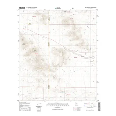
2014 Map of Mustang Mountains
USGS Topo · Published 2014About this map
The Mustang Mountains anchor this landscape along the complex junction of Pima, Santa Cruz, and Cochise Counties. This 2014 survey captures a transition between the high desert summits of the Coronado National Forest, including Mustang Peak and Mt Bruce, and the expanding residential corridors near the Babocomari River. The settlement of Whetstone appears at the eastern edge of Rain Valley, where a network of local roads like W Puesta Del Sol and W El Rancho Blvd contrast with the large historical tracts of the south. Water remains a defining feature of the terrain, with Cottonwood Spring and Mescal Spring feeding canyons like Mine Canyon and Vaughn Canyon, illustrating the vital role of riparian drainages in the arid Arizona interior.
Find a feature on this map
45 named features on this map. Tap any name to fly to it.
Don’t see what you’re looking for? This feature index may not catch every label — zoom into the map to look around manually.
Map Details
Editions of this 2014 Mustang Mountains Map
This is the sole edition of this map. No revisions or reprints were ever made.
Other maps of this area

1904 · Patagonia
USGS Topo · 1:125,000

1905 · Patagonia
USGS Topo · 1:125,000

1915 · Benson
USGS Topo · 1:125,000

1926 · Whetstone
USGS Topo · 1:62,500

1932 · Elgin
USGS Topo · 1:62,500

1938 · Huachuca
USGS Topo · 1:62,500

1940 · Elgin
USGS Topo · 1:62,500

1943 · Benson
USGS Topo · 1:125,000

1947 · Elgin
USGS Topo · 1:62,500

1948 · Elgin
USGS Topo · 1:24,000