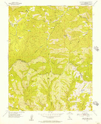
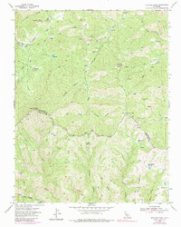
1955 Map of Mustang Peak
USGS Topo · Published 1957About this map
Mustang Peak and the surrounding high country of the Diablo Range dominate this mid-century survey, where the boundary between Stanislaus and Santa Clara counties winds through a landscape defined by deep canyons and isolated ranching outposts. Gill Ranch stands as a primary point of human activity in the northern section, supported by a network of unimproved routes including Red Creek Road and several Jeep Trails. The drainage patterns here are complex, with Orestimba Creek and Garzas Creek carving through the terrain alongside numerous named basins like Mustang Canyon and Buckeye Canyon. Small-scale water management is evident through features like Bullhead Reservoir and Oak Springs Reservoir, essential infrastructure for livestock in this arid environment. A notable Landing Strip near Paradise Flat highlights the reliance on aerial access for these remote interior highlands during the 1950s.
Find a feature on this map
27 named features on this map. Tap any name to fly to it.
Don’t see what you’re looking for? This feature index may not catch every label — zoom into the map to look around manually.
Map Details
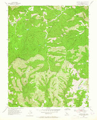
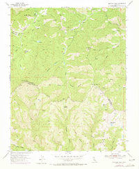
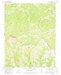
Editions of this 1955 Mustang Peak Map
5 editions found
Other maps of this area

1919 · Orestimba
USGS Topo · 1:62,500

1919 · Orestimba Creek
USGS Topo · 1:31,680

1920 · Pacheco Pass
USGS Topo · 1:62,500

1921 · Gilroy Hot Springs
USGS Topo · 1:62,500

1938 · Mt. Boardman
USGS Topo · 1:62,500

1939 · Gilroy Hot Springs
USGS Topo · 1:62,500

1940 · Gilroy Hot Springs
USGS Topo · 1:62,500

1940 · Pacheco Pass
USGS Topo · 1:62,500

1941 · Orestimba
USGS Topo · 1:62,500

1942 · Mt. Boardman
USGS Topo · 1:62,500