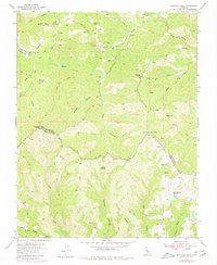
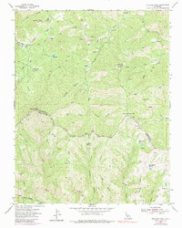
1955 Map of Mustang Peak
USGS Topo · Published 1980About this map
Gill Ranch and the surrounding backcountry of the Diablo Range define this mid-century survey along the boundary of Stanislaus and Santa Clara counties. The landscape is characterized by complex drainage systems, including the South Fork Orestimba Creek and Garzas Creek, which cut through prominent elevations like Mustang Peak. This era of the territory is marked by isolation, where movement relied on a network of jeep trails and the steep Blue Hill Grade.
Find a feature on this map
36 named features on this map. Tap any name to fly to it.
Don’t see what you’re looking for? This feature index may not catch every label — zoom into the map to look around manually.
Map Details
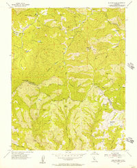
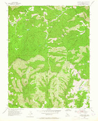
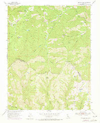
Editions of this 1955 Mustang Peak Map
5 editions found
Other maps of this area

1919 · Orestimba
USGS Topo · 1:62,500

1919 · Orestimba Creek
USGS Topo · 1:31,680

1920 · Pacheco Pass
USGS Topo · 1:62,500

1921 · Gilroy Hot Springs
USGS Topo · 1:62,500

1938 · Mt. Boardman
USGS Topo · 1:62,500

1939 · Gilroy Hot Springs
USGS Topo · 1:62,500

1940 · Gilroy Hot Springs
USGS Topo · 1:62,500

1940 · Pacheco Pass
USGS Topo · 1:62,500

1941 · Orestimba
USGS Topo · 1:62,500

1942 · Mt. Boardman
USGS Topo · 1:62,500