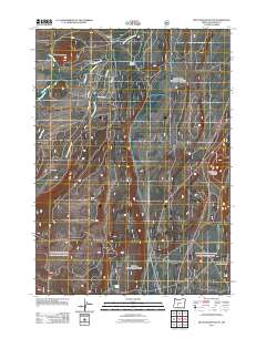
2011 Map of Muttonchop Butte
USGS Topo · Published 2011About this map
The Little Deschutes River winds through the high-elevation landscape of Klamath County, defining the drainage patterns for this timber and volcanic region. Situated in the early 21st century, the map reveals a network of forest and access roads, including Bunny Butte Rd and Surveyor Rd, that support the local industrial and recreational infrastructure. The presence of Lower Walker Quarry suggests active mineral or stone extraction, while the naming of Cow Camp and Corral Spring reflects the area's legacy of seasonal livestock grazing and water management. High points like Muttonchop Butte and Little Walker Mountain provide geographic anchors for the surrounding watershed, which is fed by Spruce Creek, Hemlock Creek, and Swamp Creek. Small outposts such as Mowich and Gilchrist Junction serve as localized hubs within this managed forest environment.
Find a feature on this map
16 named features on this map. Tap any name to fly to it.
Don’t see what you’re looking for? This feature index may not catch every label — zoom into the map to look around manually.
Map Details
Editions of this 2011 Muttonchop Butte Map
This is the sole edition of this map. No revisions or reprints were ever made.
Other maps of this area

1935 · Chemult
USGS Topo · 1:96,000

1941 · Chemult
USGS Topo · 1:125,000

1955 · Crescent
USGS Topo · 1:250,000

1957 · Crescent
USGS Topo · 1:250,000

1958 · Crescent
USGS Topo · 1:250,000
1967 · Burn Butte
USGS Topo · 1:24,000
1967 · Chemult
USGS Topo · 1:24,000
1967 · Muttonchop Butte
USGS Topo · 1:24,000
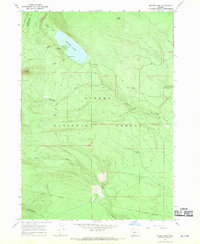
1967 · Miller Lake
USGS Topo · 1:24,000
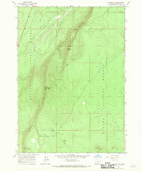
1967 · Walker Mtn
USGS Topo · 1:24,000